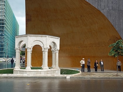
Tanners' Mosque, Tirana
Map
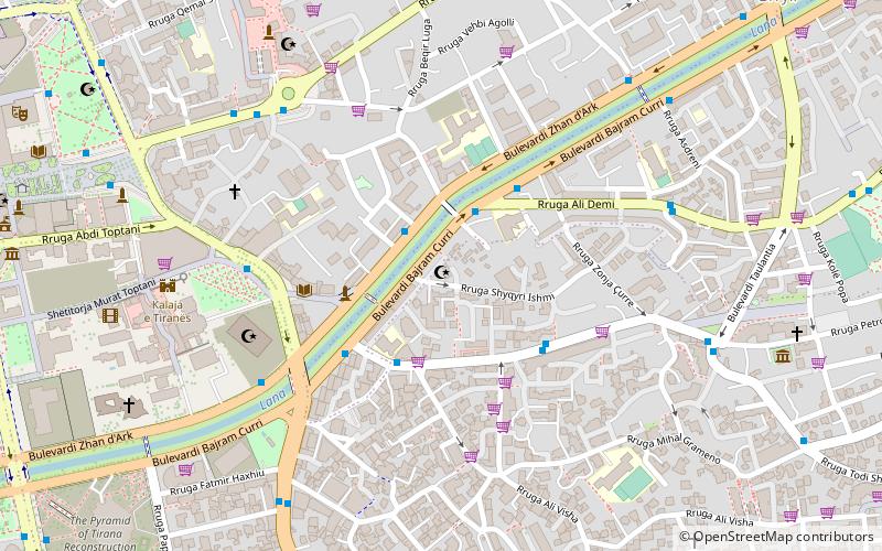
Map

Facts and practical information
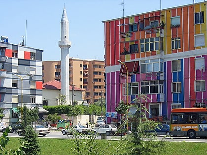
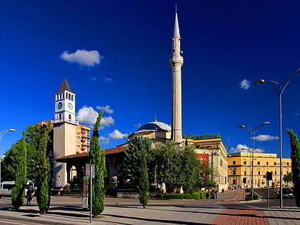
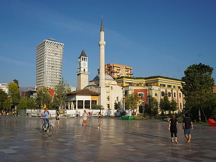
The Tanners' Mosque is a historic mosque located near the Tanners' Bridge in Tirana, capital of Albania. Built in the neighborhood of the handicraft-trade Tanners' guild around the seventeenth century in the Ottoman Empire, it was damaged by a lightning shot but continues to function thanks to improvements made by the family Resmja which even today continues to care for. ()
Local name: Xhamia e Tabakëve Architectural style: Ottoman architectureCoordinates: 41°19'36"N, 19°49'40"E
Address
Shqyri IshmiTirana
ContactAdd
Social media
Add
Day trips
Tanners' Mosque – popular in the area (distance from the attraction)
Nearby attractions include: National History Museum, Skanderbeg Square, Clock Tower, Skanderbeg Monument.
Frequently Asked Questions (FAQ)
Which popular attractions are close to Tanners' Mosque?
Nearby attractions include Ali Demi Street, Tirana (3 min walk), Tanners' Bridge, Tirana (3 min walk), Ali Demi, Tirana (3 min walk), Namazgah Mosque, Tirana (6 min walk).
How to get to Tanners' Mosque by public transport?
The nearest stations to Tanners' Mosque:
Bus
Bus
- Ish Agjencia Telegrafike • Lines: L10/A, L14/A, L5/A (2 min walk)
- Sheshi Ali Demi • Lines: L10/A, L14/B, L5/A, L5/B (3 min walk)
