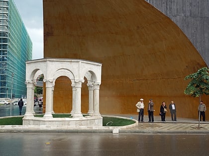
Tanners' Bridge, Tirana
Map
Gallery
Facts and practical information
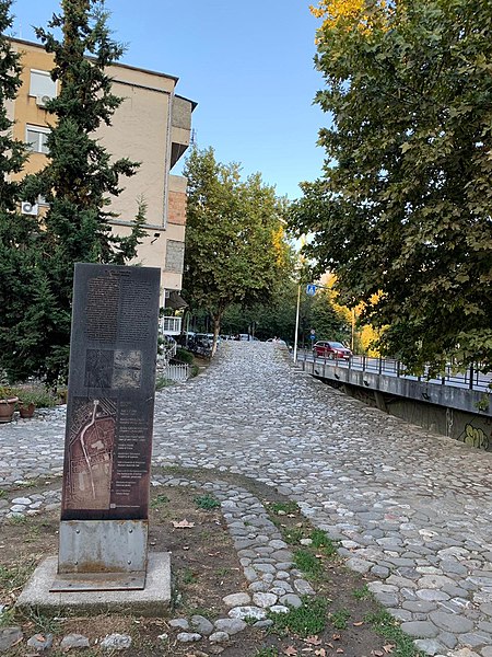
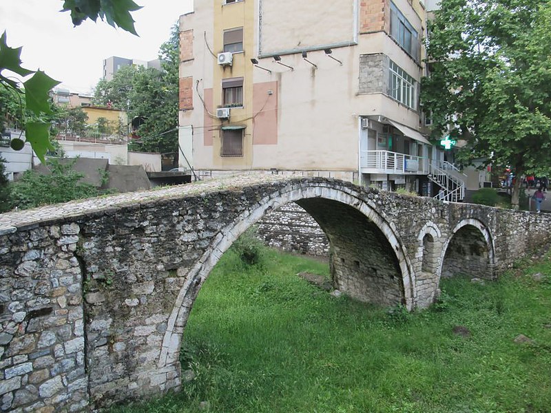
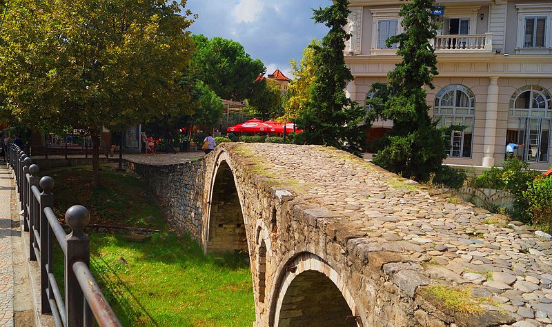
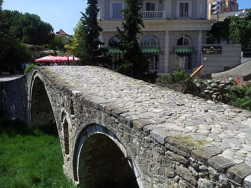
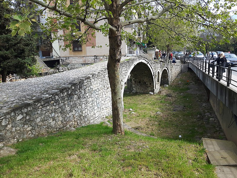
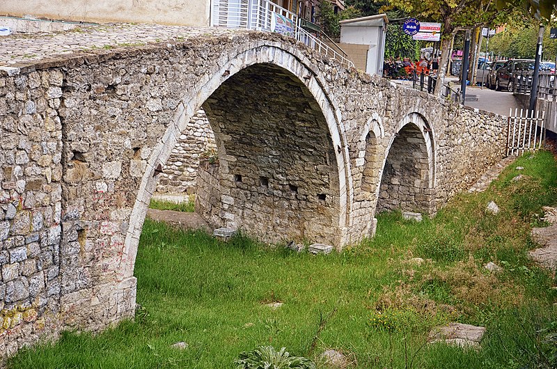
The Tanners' Bridge is an 18th-century Ottoman period stone footbridge located in Tirana, Albania. The bridge, built near the Tanners' Mosque, was once part of the Saint George Road that linked Tirana with the eastern highlands. The road was the rout by which livestock and produce entered the city. The bridge crossed the Lanë stream near the area where butcher shops and leather workers were located. The bridge fell into disrepair when the Lanë was diverted in the 1930s. In the 1990s the bridge was restored for use by pedestrians. ()
Local name: Ura e Tabakëve Completed: XVIII centuryArchitectural style: Ottoman architectureLength: 26 ftWidth: 8 ftHeight: 11 ftCoordinates: 41°19'35"N, 19°49'34"E
Address
Tirana
ContactAdd
Social media
Add
Day trips
Tanners' Bridge – popular in the area (distance from the attraction)
Nearby attractions include: National History Museum, Skanderbeg Square, Clock Tower, Skanderbeg Monument.
Frequently Asked Questions (FAQ)
Which popular attractions are close to Tanners' Bridge?
Nearby attractions include Tanners' Mosque, Tirana (3 min walk), Namazgah Mosque, Tirana (3 min walk), Ali Demi Street, Tirana (5 min walk), Ali Demi, Tirana (5 min walk).
How to get to Tanners' Bridge by public transport?
The nearest stations to Tanners' Bridge:
Bus
Bus
- autobus tregu eletriku • Lines: L10/B, L14/B, L5/B (2 min walk)
- Bako Dervishaj • Lines: L10/B (3 min walk)


