Maja e Papingut

Gallery (1)
Map
Map
Facts and practical information
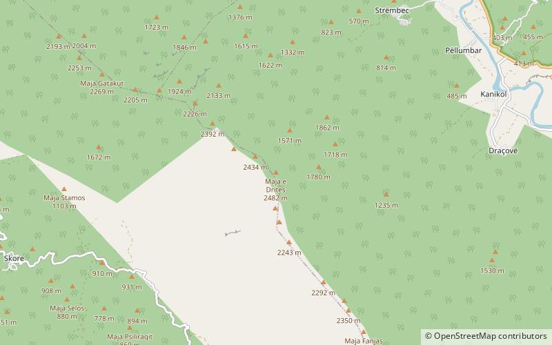
Maja e Papingut is a peak of the Nemërçkë mountain ridge located in the south of Albania, near the Vjosë river. Maja e Papingut is the highest point of Nemerçkë and the highest unshared peak in southern Albania at 2,482 m high. From the rocky summit there is a wonderful view of other Albanian mountains such as Tomorr and Gramos. ()
Location
Gjirokastër
ContactAdd
Social media
Add
Day trips