Mount Bureto

Map
Facts and practical information
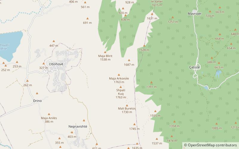
Mount Bureto is a mountain in southern Albania in the geographical region of Southern Albanian Highlands. It is part of the mountain chain Shëndelli-Lunxhëri-Bureto chain, which goes parallel to the Trebeshinë-Dhembel-Nemërçkë chain. Its highest elevation, Arkovolë, is 1,763 m. Its orientation is north to south. The valley of the river Drino and the town Libohovë lie to its west. ()
Coordinates: 40°1'44"N, 20°17'56"E
Location
Gjirokastër
ContactAdd
Social media
Add
Day trips
Mount Bureto – popular in the area (distance from the attraction)
Nearby attractions include: Antigonia, Libohovë Castle, Church of the Dormition of the Theotokos, Holy Transfiguration Monastery Church.


