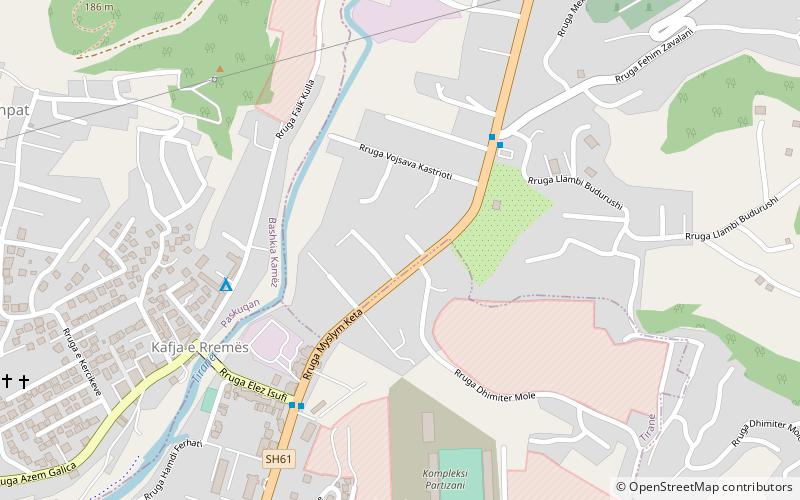
Partizani Complex, Tirana
Map
Facts and practical information
The Partizani Complex is the training ground and academy base of Albanian football club, Partizani Tirana. ()
Coordinates: 41°21'36"N, 19°50'60"E
Address
Tirana
ContactAdd
Social media
Add
Getting there by public transportation
Public transportation stops near this location
- Bus
 Bus
Bus
- Calculate routeVarrezat Tufinë 5 min walk
- Calculate routeKafja e Rremës 6 min walk
- Calculate routeProfarma 10 min walk
- Calculate routeUra 19 min walk
Day trips


Frequently Asked Questions (FAQ)
How to get to Partizani Complex by public transport?
The nearest stations to Partizani Complex:
Bus
Bus
- Varrezat Tufinë • Lines: L7 (5 min walk)
- Kafja e Rremës • Lines: L7 (6 min walk)