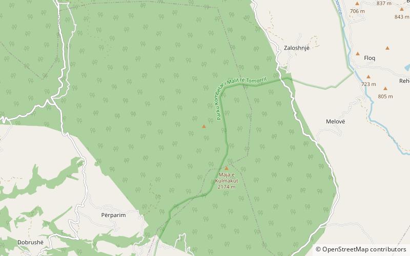
Mali i Kulmakut, Tomorr National Park

Map
Facts and practical information
Mali i Kulmakut is a peak in the southeastern part of the Tomorr range in Albania. It has an elevation of 2,173 m above sea level. ()
Coordinates: 40°35'13"N, 20°14'38"E
Address
Tomorr National Park
ContactAdd
Social media
Add
Day trips
Mali i Kulmakut – popular in the area (distance from the attraction)
Nearby attractions include: Pirogoshi Cave, Ura e Kasabashit.

