Trek Zone

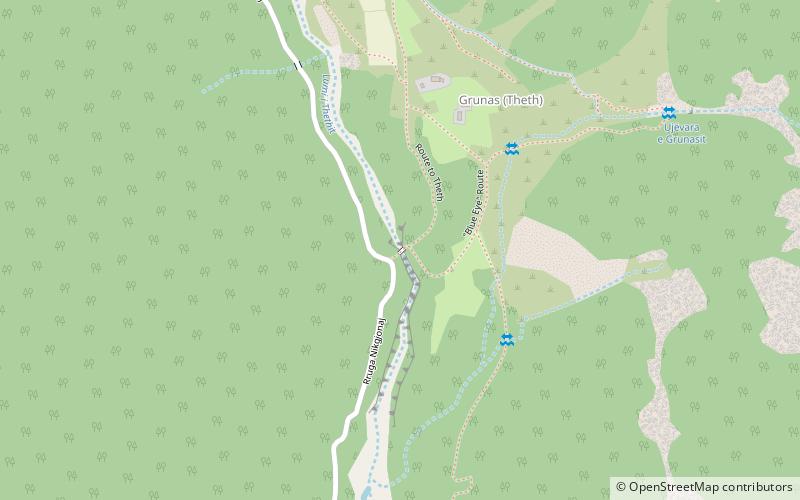
Ura e Gerles, Thethi

#1 among attractions in Thethi

Bridge
Ura e Gerles

Facts and practical information

Ura e Gerles is a place located in Thethi (Shkodër county) and belongs to the category of bridge.

It is situated at an altitude of 2159 feet, and its geographical coordinates are 42°22'31"N latitude and 19°47'21"E longitude.

Among other places and attractions worth visiting in the area are: Ethnographic Museum of Dukagjin (museum, 23 min walk), Sport Climbing (climbing, 44 min walk), "Blue Eye" Route (natural attraction, 60 min walk).

Coordinates: 42°22'31"N, 19°47'21"E
Address

Thethi Albania

ContactAdd
Social media
Add

Thethi plan & book

Unleash the traveler in you — discover the cheapest flight deals, find the perfect hotel or hostel nearby, and search for the best car rental prices. Travel at your own pace to discover new places and enjoy your journey.

Day trips

Ura e Gerles – popular in the area (distance from the attraction)

Nearby attractions include: Maja Jezercë, Accursed Mountains, Dinaric Alps, Maja Harapit.

  • maja jezerce4.8 miN
  • prokletije4.7 miN
  • dinaric alps4.7 miN
  • maja harapit5.1 miN
  • radohima theth national park4.8 miNW
  • shale5.2 miS
  • maja kokervhake location map
    5.4 miN
  • maja visens theth national park location map
    4.9 miNW
  • blue eye route thethi2.3 miW
  • nikaj mertur regional nature park5.9 miSE
  • ethnographic museum of dukagjin thethi0.9 miN

Where to next? Visit shkoder Shkodër region page or discover the top tourist attractions in Albania.

AlbaniaBeratDibërDurrësElbasanFierGjirokastërKorçëKukësLezhëShkodërTiranëVlorë