Pllaja e Pusit

Map
Facts and practical information
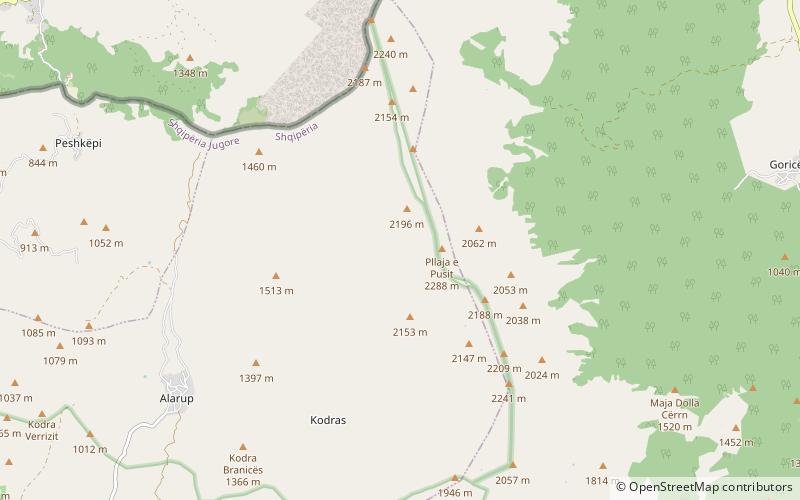
Pllaja e Pusit is a mountain peak located in south-eastern Albania. Pllaja e Pusit is 2,288 m high being the highest peak of Mali i Thatë. Pllaja e Pusit is not only the highest peak of Mali i Thatë but also the highest peak of the mountains separating Lake Ohrid and Lake Prespa. To the north - west of Pllaja e Pusit is Lake Ohrid and to the east of this peak is Lake Prespa. One of the largest settlements found near the peak is Liqenas. ()
Coordinates: 40°52'60"N, 20°49'60"E
Location
Korçë
ContactAdd
Social media
Add
Day trips
Pllaja e Pusit – popular in the area (distance from the attraction)
Nearby attractions include: Mali i Thatë.
