Maja e Këndrevicës

Gallery (1)
Map
Map
Facts and practical information
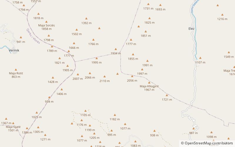
Maja e Këndrevicës is a mountain in Gjirokastër County, southern Albania. It is 15 km west of the town Tepelenë and 36 km southeast of the city Vlorë. At 2,121 m elevation, it is the highest point of the mountain range Mali i Gribës, which stretches between the valleys of the rivers Vjosë and Shushicë. ()
Location
Gjirokastër
ContactAdd
Social media
Add