Hoggar Mountains

Gallery (2)
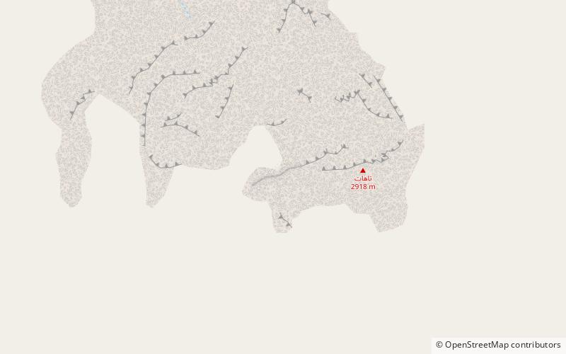
Map
Map
Gallery
Facts and practical information
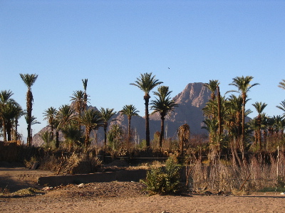
The Hoggar Mountains are a highland region in the central Sahara in southern Algeria, along the Tropic of Cancer. The mountains cover an area of approximately 550,000 square km. ()
Local name: جبال هقار Area: 19305.07 mi²Maximum elevation: 9541 ftElevation: 9541 ftCoordinates: 23°17'19"N, 5°32'3"E
Location
Tamanghasset
ContactAdd
Social media
Add
Day trips
Hoggar Mountains – popular in the area (distance from the attraction)
Nearby attractions include: Mount Tahat.
