Higher National Veterinary School, Algiers
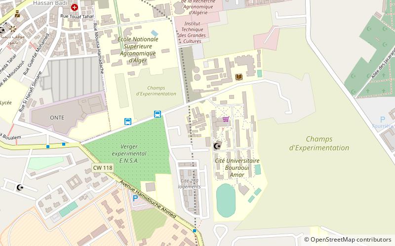
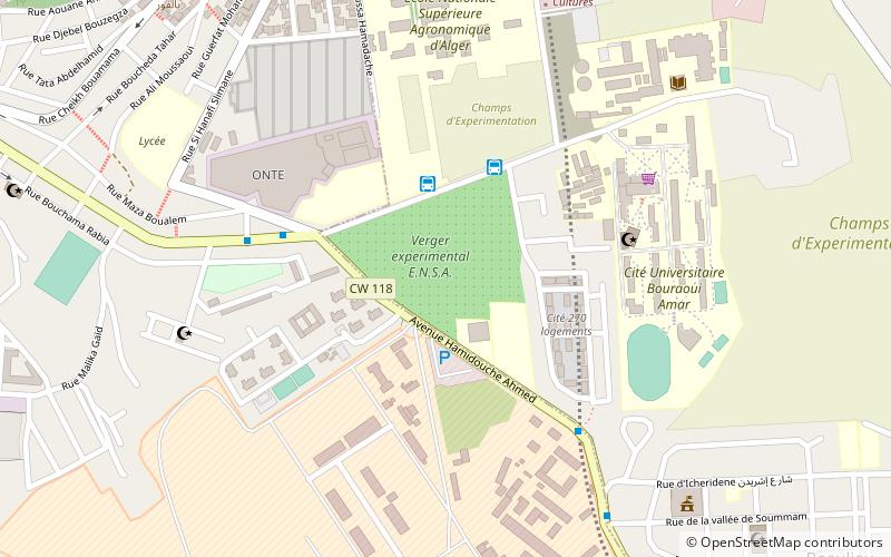
Map
Facts and practical information
Getting there by public transportation
Public transportation stops near this location
- Metro
- Bus
- Tram
- Train
 Metro
Metro
- Calculate routeBouraoui station 3 min walk
- Calculate routeCous bouraoui 5 min walk
- Calculate routeLa Radieuse 9 min walk
- Calculate routeSidi Mbarek El-Harrach 10 min walk
- Calculate routeCinq Maisons 15 min walk
- Calculate routeBekri Bouguerra 22 min walk
- Calculate routePalace Exhibition 27 min walk
- Calculate routeBellevue 32 min walk
- Calculate routeEl-Harrach Center 24 min walk
- Calculate routeEl Harrach Station 31 min walk
- Calculate routeGare ferroviaire d'El Harrach 30 min walk
- Calculate routeEl Harrach 30 min walk
- Calculate routeOued Semmar 37 min walk
Day trips


Frequently Asked Questions (FAQ)
Which popular attractions are close to Higher National Veterinary School?
Nearby attractions include El Harrach District, Algiers (5 min walk), Higher National Agronomic School, Algiers (6 min walk), El Alia Cemetery, Algiers (20 min walk).
How to get to Higher National Veterinary School by public transport?
The nearest stations to Higher National Veterinary School:
Bus
Tram
Metro
Train
Bus
- Bouraoui station (3 min walk)
- Cous bouraoui (5 min walk)
Tram
- Cinq Maisons • Lines: T1 A, T1 R (15 min walk)
- Bekri Bouguerra • Lines: T1 A, T1 R (22 min walk)
Metro
- El-Harrach Center • Lines: L1 (24 min walk)
- El Harrach Station • Lines: L1 (31 min walk)
Train
- Gare ferroviaire d'El Harrach (30 min walk)
- El Harrach (30 min walk)