Bab El Oued District, Algiers
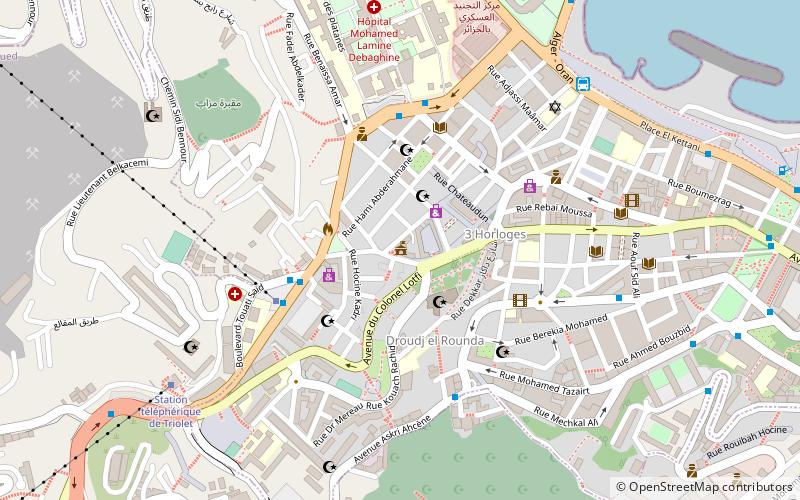
Map
Facts and practical information
Bab El Oued is a district in Algiers Province, Algeria. It was named after its capital, Bab El Oued. ()
Address
باب الوادى دائرة (باب الوادى)Algiers
ContactAdd
Social media
Add
Getting there by public transportation
Public transportation stops near this location
- Metro
- Bus
- Train
- Ferry
 Metro
Metro
- Calculate routeBazita 4 min walk
- Calculate routeBasitta 4 min walk
- Calculate routeChevalley 5 min walk
- Calculate routeRe maison 5 min walk
- Calculate routePlace des Martyrs 21 min walk
- Calculate routeAli Boumendjel 23 min walk
- Calculate routeAlgiers 29 min walk
- Calculate routeAlger 32 min walk
- Calculate routeAlgiers 27 min walk
Day trips


Frequently Asked Questions (FAQ)
Which popular attractions are close to Bab El Oued District?
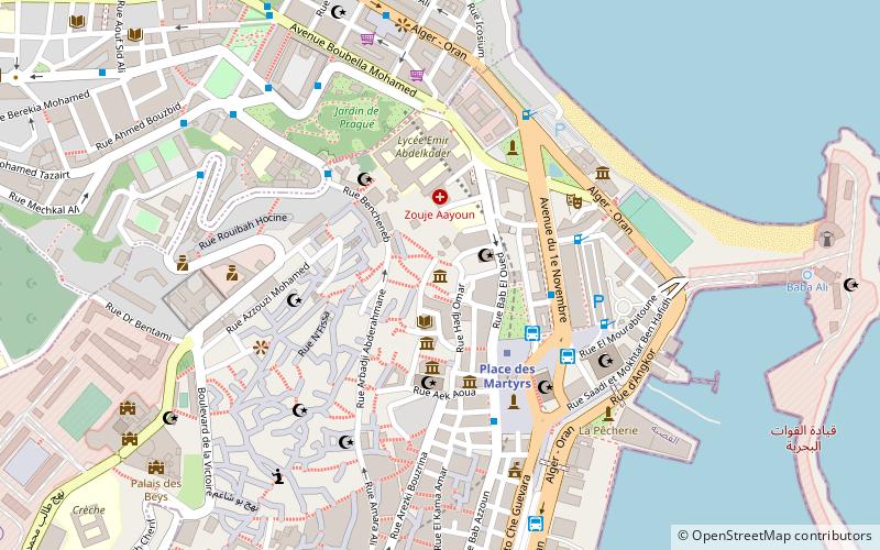
Nearby attractions include Bab El Oued, Algiers (1 min walk), El Kettar Cemetery, Algiers (9 min walk), El Barani Mosque, Algiers (14 min walk), Palace of the Dey, Algiers (14 min walk).
How to get to Bab El Oued District by public transport?
The nearest stations to Bab El Oued District:
Bus
Metro
Ferry
Train
Bus
- Bazita • Lines: 58 (4 min walk)
- Basitta • Lines: 58 (4 min walk)
Metro
- Place des Martyrs • Lines: L1 (21 min walk)
- Ali Boumendjel • Lines: L1 (23 min walk)
Ferry
- Algiers (29 min walk)
- Alger • Lines: الجزائر - Marseille (32 min walk)
Train
- Algiers (27 min walk)