Trek Zone

Refugi de Comapedrosa

#52 among destinations in Andorra

Hiking, Alpine hut
Refugi de Comapedrosa

Facts and practical information

Refugi de Comapedrosa is a place located in Andorra and belongs to the category of hiking, alpine hut.

It is situated at an altitude of 7398 feet, and its geographical coordinates are 42°34'44"N latitude and 1°26'58"E longitude.

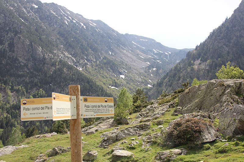
Among other places and attractions worth visiting in the area are: Pic dels Aspres (nature, 3 min walk), Coma PedrosaArinsal (natural attraction, 25 min walk), Refugi del Pla de l'Estany (hiking, 31 min walk).

Coordinates: 42°34'44"N, 1°26'58"E
Location

La MassanaAndorra

ContactAdd
Social media
Add

Refugi de Comapedrosa plan & book

Unleash the traveler in you — discover the cheapest flight deals, find the perfect hotel or hostel nearby, and search for the best car rental prices. Travel at your own pace to discover new places and enjoy your journey.

Day trips

Refugi de Comapedrosa – popular in the area (distance from the attraction)

Nearby attractions include: Vallnord, Església de Sant Andreu d'Arinsal, Coma Pedrosa, Casa d'Areny-Plandolit.

  • vallnord3.3 miSE
  • esglesia de sant andreu darinsal1.8 miE
  • coma pedrosa arinsal0.9 miNE
  • casa dareny plandolit4.6 miE
  • esglesia de sant serni de llorts4.1 miE
  • esglesia de sant cristofol danyos4.9 miSE
  • esglesia de sant marti de la cortinada la cortinada3.5 miE
  • sant climent de pal2.6 miSE
  • esglesia de sant corneli i sant cebria dordino4.5 miE
  • esglesia de sant iscle i santa victoria la massana4 miSE
  • sant joan de sispony4.6 miSE

Where to next? Visit la massana La Massana region page or discover the top tourist attractions in Andorra.