Pont Pla, Andorra la Vella
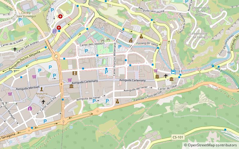
Map
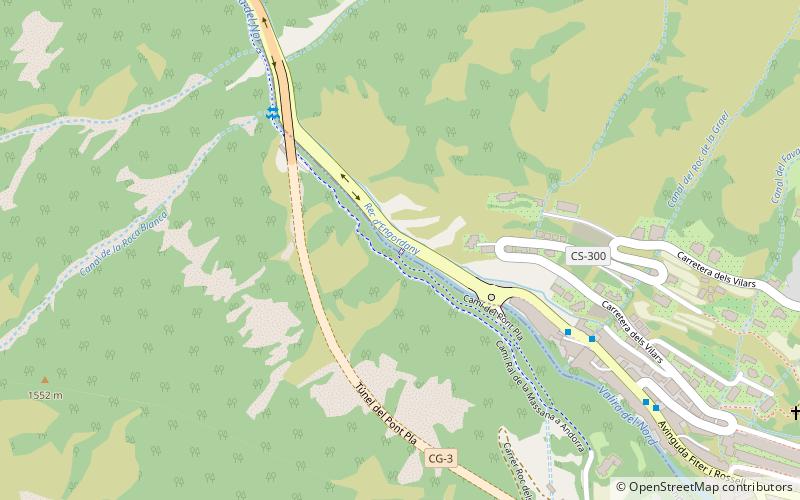
Map

Facts and practical information
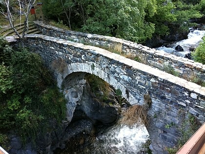
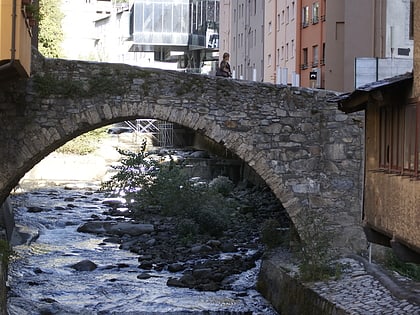
Pont Pla is a bridge located in Escaldes-Engordany Parish, Andorra. It is a heritage property registered in the Cultural Heritage of Andorra. It was built in the 18th century. ()
Coordinates: 42°31'3"N, 1°31'35"E
Address
Andorra la Vella
ContactAdd
Social media
Add
Day trips
Pont Pla – popular in the area (distance from the attraction)
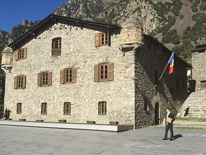
Nearby attractions include: Església de Sant Esteve, Casa de la Vall, Parc Central, Església de Sant Pere Màrtir.
Frequently Asked Questions (FAQ)
Which popular attractions are close to Pont Pla?
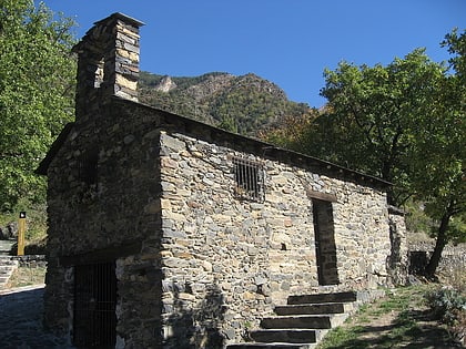
Nearby attractions include Església de Sant Romà dels Vilars, Andorra la Vella (12 min walk), Pont dels Escalls, Andorra la Vella (14 min walk), Meritxell Avenue, Andorra la Vella (16 min walk), Església de Sant Esteve, Andorra la Vella (19 min walk).
How to get to Pont Pla by public transport?
The nearest stations to Pont Pla:
Bus
Bus
- 5008 Rotonda • Lines: L1, L2, L4 (16 min walk)
- 5011 Consell d'Europa • Lines: L4 (17 min walk)
