Mussulo Island
Map

Map

Facts and practical information
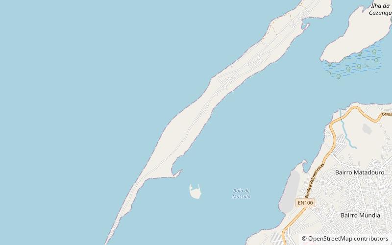
Mussulo is a peninsula and a commune, with a population of 7,798, located south of Luanda, Angola. It is part of the municipality of Belas, province of Luanda. It is actually a spit created by sediments from the Cuanza River, moved north by the Benguela Current. It is about 30 km long, at most 3 km wide, and at the narrowest parts in the south of the peninsula, less than 100 metres. ()
Location
Luanda
ContactAdd
Social media
Add
Day trips
Mussulo Island – popular in the area (distance from the attraction)
Nearby attractions include: National Museum of Slavery.

