Cabo Ledo, Quiçama National Park
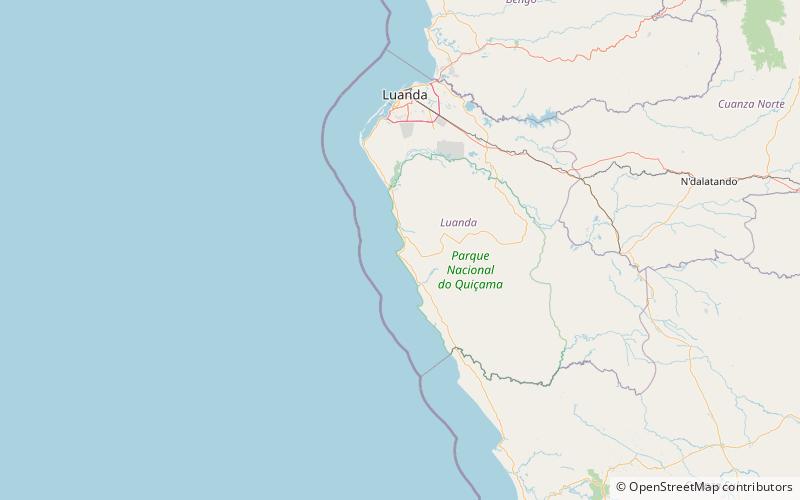
Map
Facts and practical information
Cabo Ledo is a place located in Quiçama National Park (Bengo province) and belongs to the category of beach, outdoor activities.
It is situated at an altitude of 7 feet, and its geographical coordinates are 9°40'20"S latitude and 13°12'58"E longitude.
Among other places and attractions worth visiting in the area are: Praia dos Surfistas (beach, 32 min walk).
Coordinates: 9°40'20"S, 13°12'58"E
Day trips
Cabo Ledo – popular in the area (distance from the attraction)
Nearby attractions include: Praia dos Surfistas.
