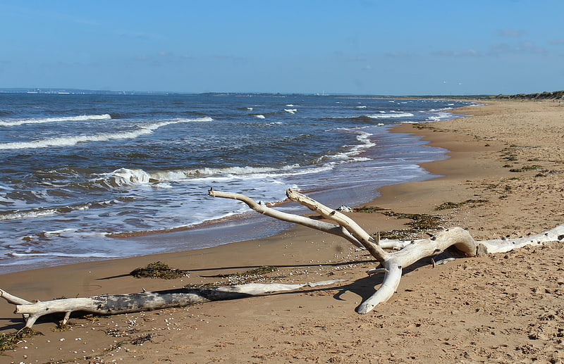
Baia Azul, Benguela
Gallery (1)
Map
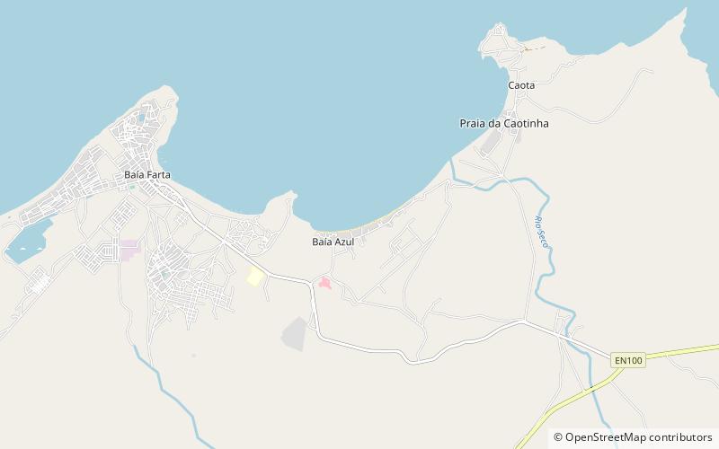
Map
Facts and practical information
Baia Azul is a place located in Benguela (Benguela province) and belongs to the category of beach.
It is situated at an altitude of 10 feet, and its geographical coordinates are 12°37'16"S latitude and 13°14'21"E longitude.
Coordinates: 12°37'16"S, 13°14'21"E
Address
Benguela
ContactAdd
Social media
Add