Betty's Hope, Antigua
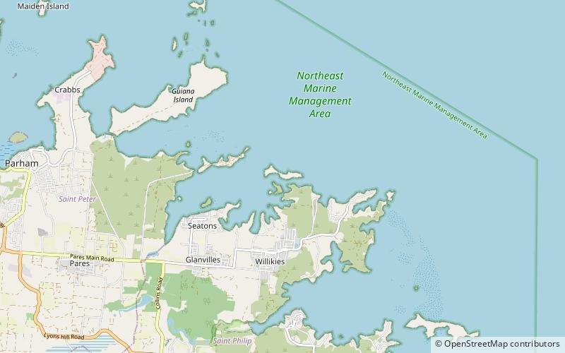
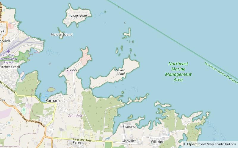
Map
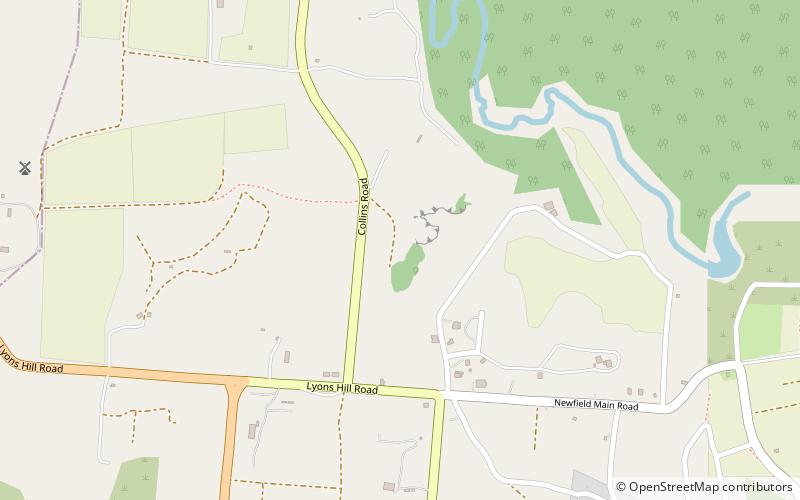
Map

Facts and practical information
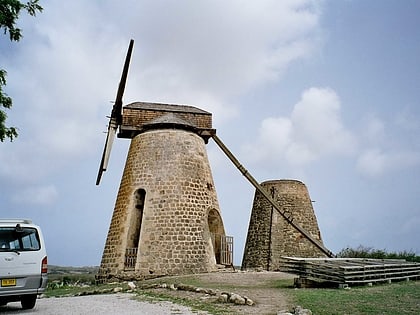
Betty's Hope was a sugarcane plantation in Antigua. It was established in 1650, shortly after the island had become an English colony, and flourished as a successful agricultural industrial enterprise during the centuries of slavery. It was the first large-scale sugar plantation to operate in Antigua and belonged to the Codrington family from 1674 until 1944. Christopher Codrington, later Captain General of the Leeward Islands, acquired the property in 1674 and named it Betty's Hope, after his daughter. ()
Coordinates: 17°4'0"N, 61°43'60"W
Address
Antigua
ContactAdd
Social media
Add
Day trips
Betty's Hope – popular in the area (distance from the attraction)
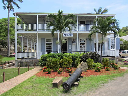
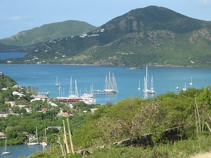
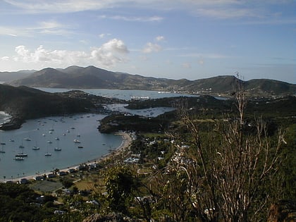
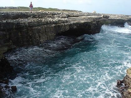
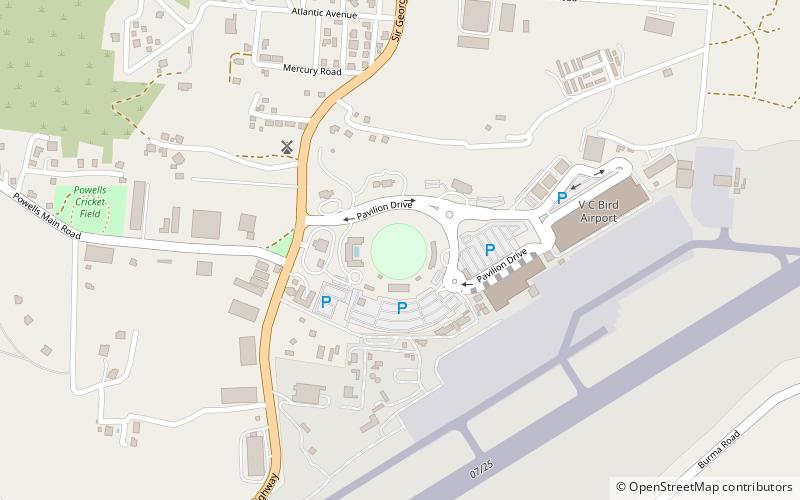
Nearby attractions include: Nelson's Dockyard, Galleon Beach Antigua, Dockyard Museum, Sir Vivian Richards Stadium.
