Cerro de La Ventana, Ernesto Tornquist Provincial Park

Gallery (2)
Map
Map
Gallery
Facts and practical information
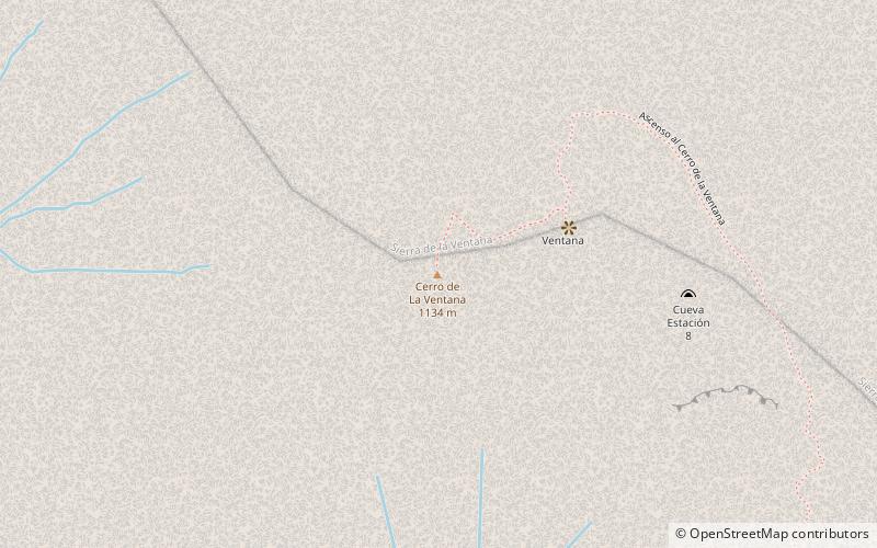
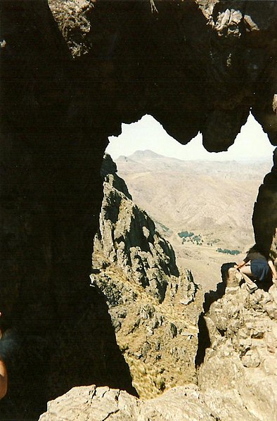
Mount Ventana is the name of the Ventania system, in the province of Buenos Aires, Argentina. With an altitude of 1136 meters above sea level, it is the third highest mountain in the province, behind Cerro Destierro Primero, which is the second highest, and Cerro Tres Picos, which is in first place. On December 7, 1995 it was declared a natural monument Cerro de la Ventana by the sanction of the Buenos Aires law n.º 11750.
Coordinates: 38°2'57"S, 62°1'11"W
Address
Ernesto Tornquist Provincial Park
ContactAdd
Social media
Add