Plaza de la República, Buenos Aires
Map
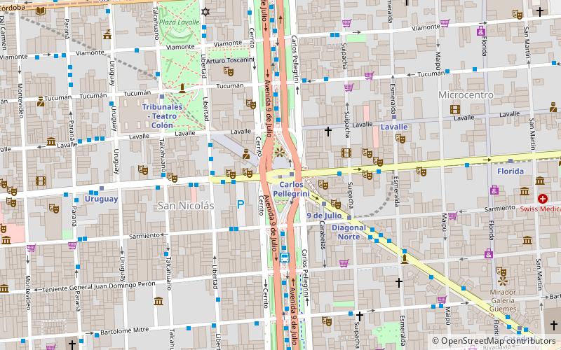
Map

Facts and practical information
Plaza de la República is a city square in Buenos Aires, capital of Argentina. It is located in the San Nicolás quarter, at the intersection of the city's three main arteries: Ninth of July Avenue, Corrientes Avenue, and Diagonal Norte. It derives its name and associations from a church once sited on the square, San Nicolás de Bari, where the country's national flag was hoisted for the first time. ()
Address
Comuna 1 (San Nicolás)Buenos Aires
ContactAdd
Social media
Add
Day trips
Plaza de la República – popular in the area (distance from the attraction)
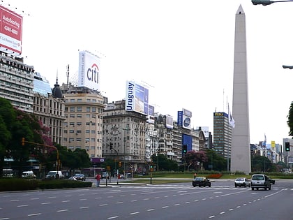
Nearby attractions include: Florida Street, Obelisco, Teatro Colón, Teatro Cervantes.
Frequently Asked Questions (FAQ)
Which popular attractions are close to Plaza de la República?
Nearby attractions include Obelisco, Buenos Aires (1 min walk), Avenida Roque Sáenz Peña, Buenos Aires (2 min walk), Teatro Broadway, Buenos Aires (3 min walk), Buenos Aires Central Business District, Buenos Aires (3 min walk).
How to get to Plaza de la República by public transport?
The nearest stations to Plaza de la República:
Metro
Bus
Train
Metro
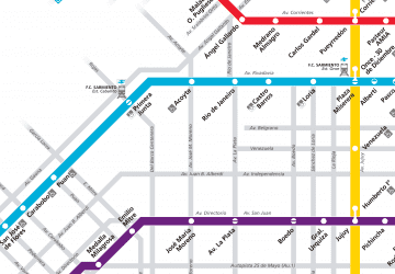
- Carlos Pellegrini • Lines: B (1 min walk)
- 9 de Julio • Lines: D (3 min walk)
Bus
- Avenida 9 de Julio • Lines: 146, 180x155, 180x155n, 24-1, 24-2, 26 (3 min walk)
- Corrientes y Suipacha • Lines: 140, 146, 180x155, 180x155n, 26, 50, 6 (3 min walk)
Train
- Retiro (28 min walk)
 Metro
Metro


