Mburucuyá National Park
Map
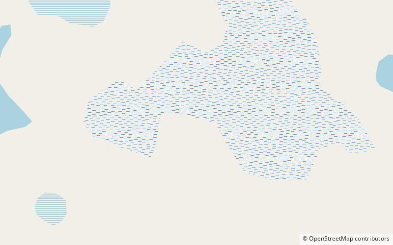
Map

Facts and practical information
Mburucuyá National Park is a National park in Argentina. It is located in the north west of the Corrientes Province around 150 km from the city of Corrientes and covers an area of 176 square kilometres of the Iberá Wetlands. ()
Local name: Parque nacional Mburucuyá Established: 2001 (25 years ago)Elevation: 243 ft a.s.l.Coordinates: 28°1'3"S, 58°4'17"W
Location
Corrientes
ContactAdd
Social media
Add
Best Ways to Experience the Park
Wildlife
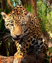
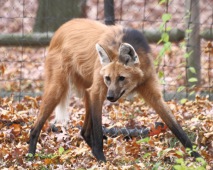
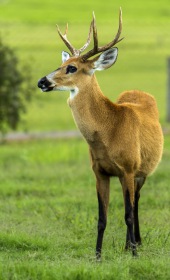
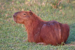
AnimalsSee what popular animal species you can meet in this location.
More
Show more

