Tupungato
Map

Gallery

Facts and practical information
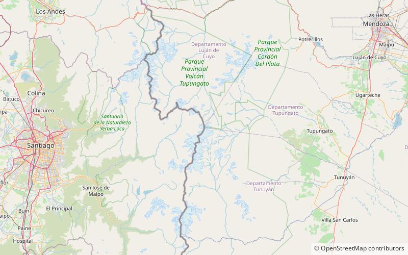
Tupungato, one of the highest mountains in the Americas, is a massive Andean lava dome dating to Pleistocene times. It lies on the border between the Chilean Metropolitan Region and the Argentine province of Mendoza, about 100 km south of Aconcagua, the highest peak of both the Southern and Western hemispheres. Immediately to its southwest is the active Tupungatito volcano, which last erupted in 1987. ()
Local name: Volcán Tupungato First ascent: 1897Elevation: 21555 ftProminence: 9072 ftCoordinates: 33°21'30"S, 69°46'13"W
Location
Mendoza
ContactAdd
Social media
Add
