Avenida Coronel Díaz, Buenos Aires
Map
Gallery

Facts and practical information
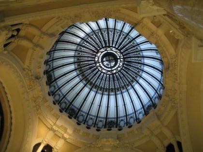
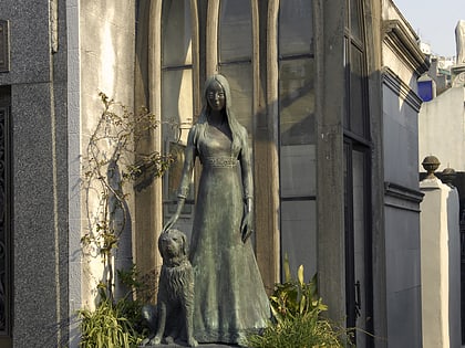
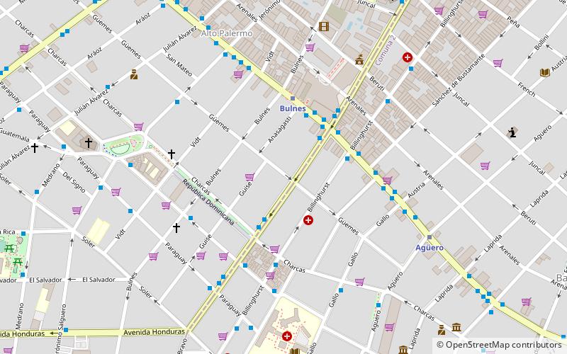
Coronel Díaz Avenue is an avenue that marks the limit between the Palermo and Recoleta neighborhoods in Buenos Aires, Argentina, and extends northbound, parallel Pueyrredón Avenue. It starts on Soler Street and ends on Castex Street, passing along Las Heras Park and the nearby Alto Palermo Shopping Center. ()
Day trips
Avenida Coronel Díaz – popular in the area (distance from the attraction)
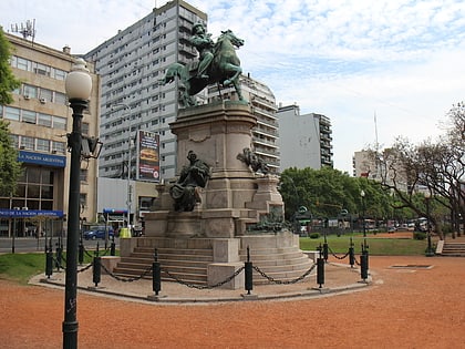
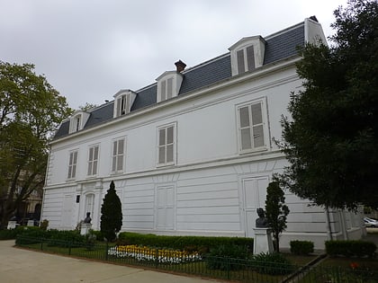
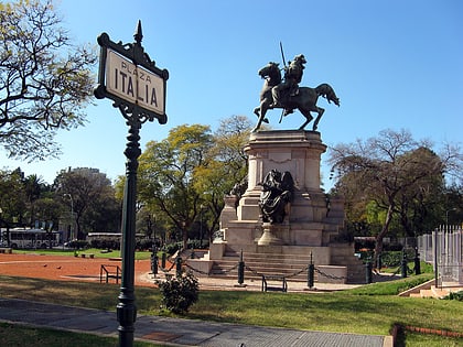
Nearby attractions include: National Museum of Decorative Arts, Buenos Aires Zoo, Buenos Aires Botanical Garden, Monument to Giuseppe Garibaldi.
Frequently Asked Questions (FAQ)
Which popular attractions are close to Avenida Coronel Díaz?
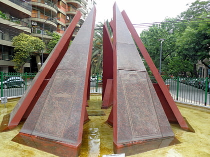
Nearby attractions include Mount Ararat Square, Buenos Aires (4 min walk), Plaza Güemes, Buenos Aires (7 min walk), Avenida Santa Fe, Buenos Aires (9 min walk), Calle Agüero, Buenos Aires (9 min walk).
How to get to Avenida Coronel Díaz by public transport?
The nearest stations to Avenida Coronel Díaz:
Bus
Metro
Train
Bus
- Coronel Díaz y Charcas • Lines: 111, 128, 29O, 29P, 39-3, 92 (3 min walk)
- Coronel Díaz y Santa Fe • Lines: 111, 29O, 29P (3 min walk)
Metro
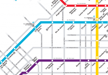
- Bulnes • Lines: D (4 min walk)
- Agüero • Lines: D (7 min walk)
Train
- Palermo (30 min walk)
- Saldías (31 min walk)

 Metro
Metro


