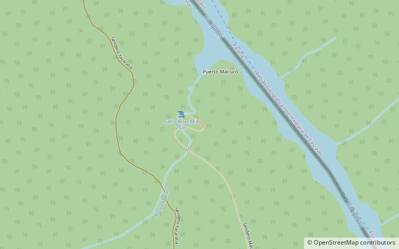
Sendero Macuco, Puerto Iguazú
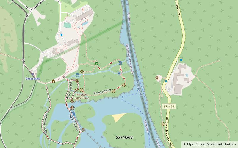
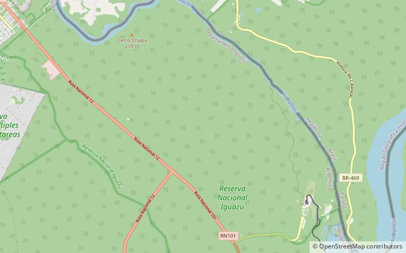
Map
Facts and practical information
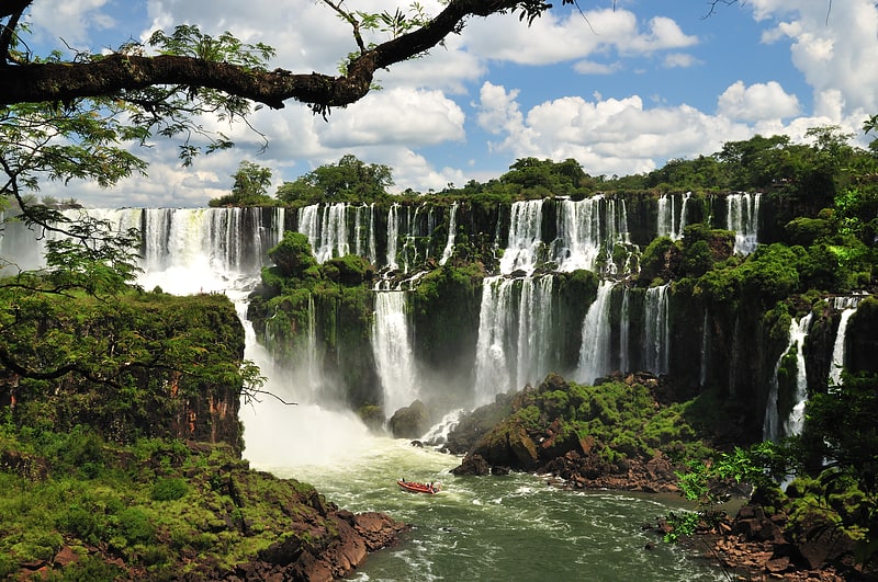
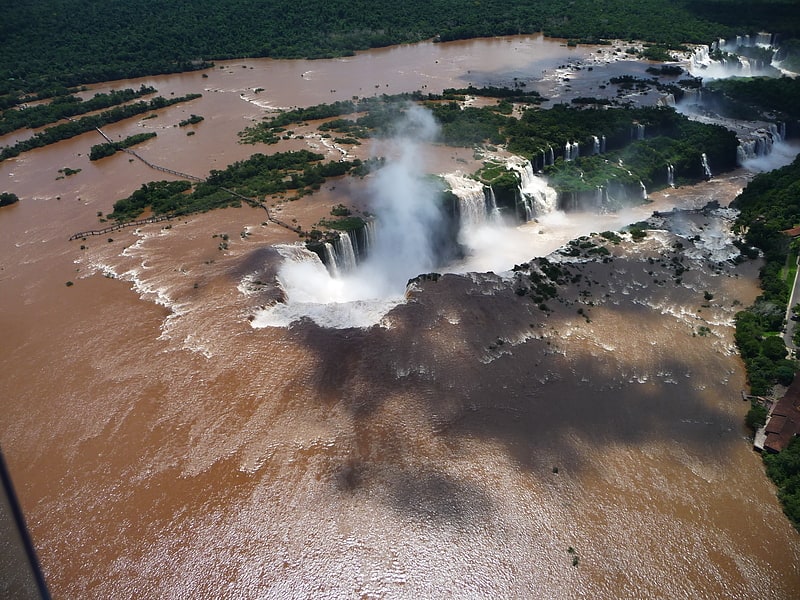
Sendero Macuco is a place located in Puerto Iguazú (Misiones province) and belongs to the category of sightseeing.
It is situated at an altitude of 561 feet, and its geographical coordinates are 25°39'20"S latitude and 54°27'24"W longitude.
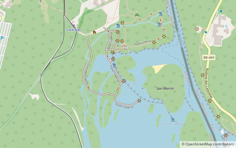
Among other places and attractions worth visiting in the area are: Iguazú National Reserve, Iguazú National Park (protected area, 51 min walk), Circuito Inferior, Iguazú National Park (trail, 55 min walk), Salto Bernabé Méndez, Iguazú National Park (waterfall, 58 min walk).
Coordinates: 25°39'20"S, 54°27'24"W
Address
Puerto Iguazú
ContactAdd
Social media
Add
Day trips