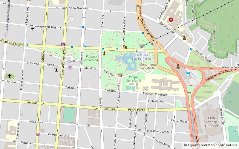
Cerro San Bernardo, Salta
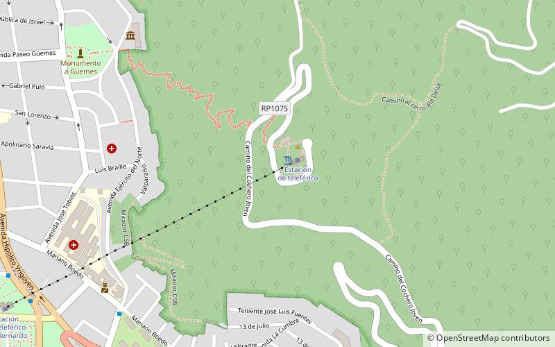
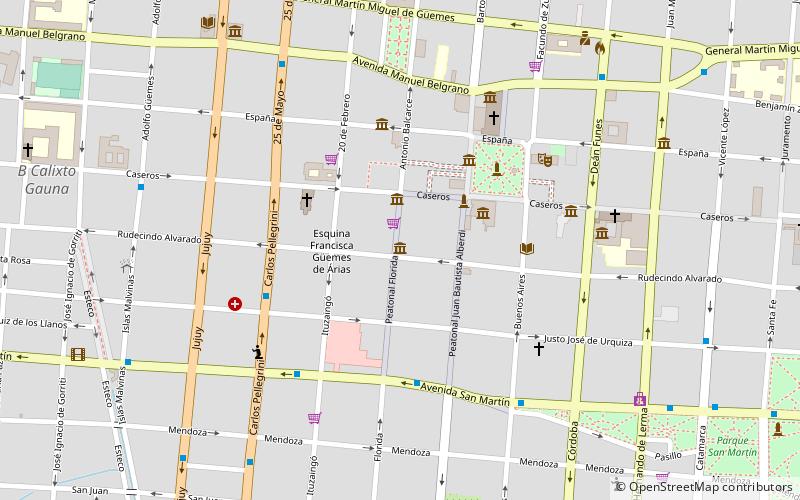
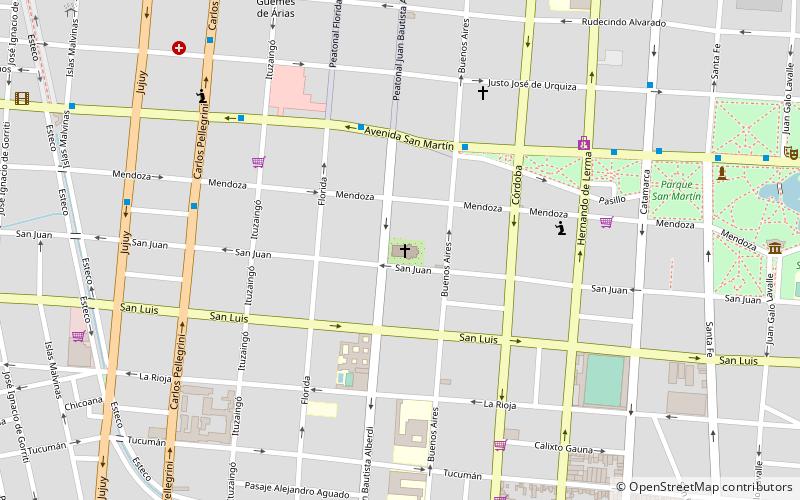
Map
Facts and practical information
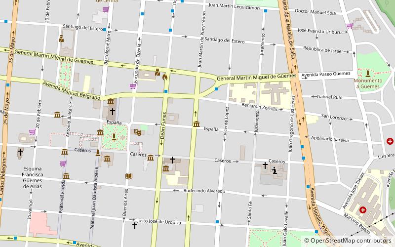
Cerro San Bernardo (address: Camino Cerro San Bernardo) is a place located in Salta (Salta province) and belongs to the category of mountain, park, view point.
It is situated at an altitude of 4698 feet, and its geographical coordinates are 24°47'24"S latitude and 65°23'36"W longitude.
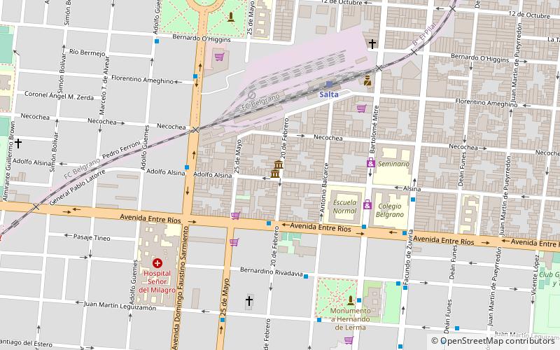
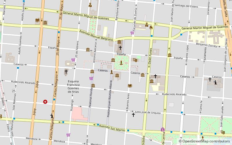
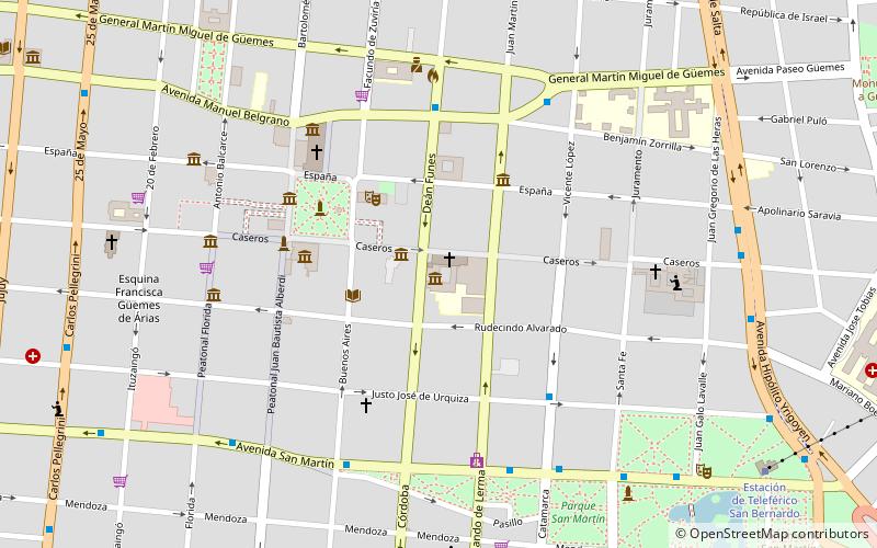
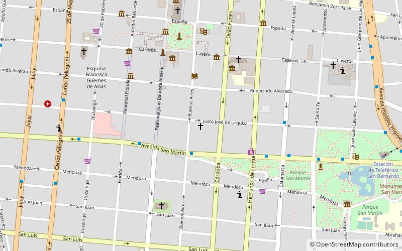
Planning a visit to this place, one can easily and conveniently get there by public transportation. Cerro San Bernardo is a short distance from the following public transport stations: Salta (train, 37 min walk).
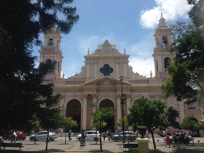
Among other places and attractions worth visiting in the area are: Convent of San Bernardo (church, 17 min walk), Museo de Ciencias Naturales-UNSa (museum, 19 min walk), Estadio El Gigante del Norte (sport, 22 min walk).
Elevation: 4698 ft a.s.l.Coordinates: 24°47'24"S, 65°23'36"W
Getting there by public transportation
Public transportation stops near this location
- Train
 Train
Train
- Calculate routeSalta 37 min walk
Day trips

Frequently Asked Questions (FAQ)
Which popular attractions are close to Cerro San Bernardo?
Nearby attractions include Convent of San Bernardo, Salta (17 min walk), Museo de Ciencias Naturales-UNSa, Salta (19 min walk), Museo El Tribuno Guillermo Pajarito Velarde, Salta (22 min walk), Teatro del Huerto, Salta (23 min walk).
How to get to Cerro San Bernardo by public transport?
The nearest stations to Cerro San Bernardo:
Train
Train
- Salta (37 min walk)