Cerro Torre, Los Glaciares National Park
Gallery (1)
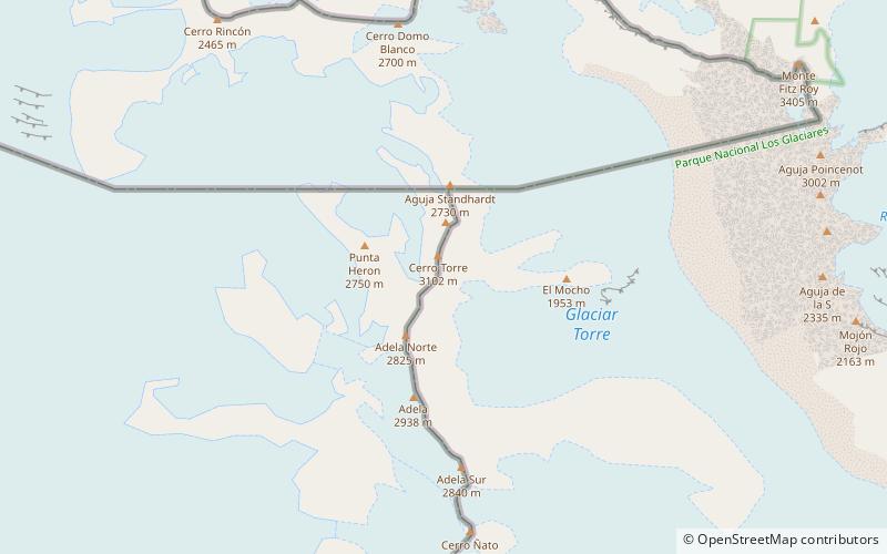
Map
Map
Facts and practical information
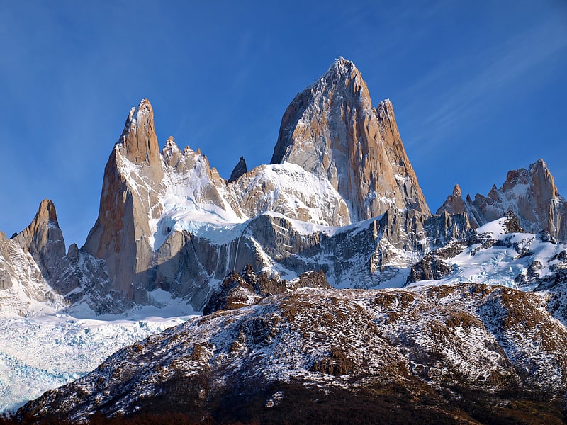
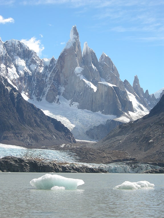
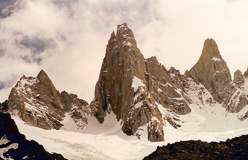
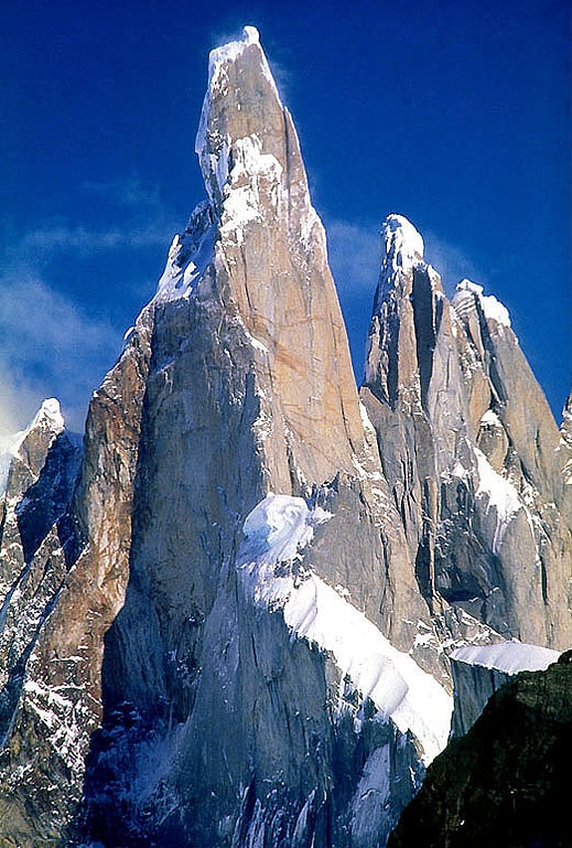
Cerro Torre is one of the mountains of the Southern Patagonian Ice Field in South America. It is located in a region which is disputed between Argentina and Chile, west of Fitz Roy. The peak is the highest of a four mountain chain: the other peaks are Torre Egger, Punta Herron, and Cerro Standhardt. The top of the mountain often has a mushroom of rime ice, formed by the constant strong winds, increasing the difficulty of reaching the actual summit. ()
Alternative names: First ascent: 1974Elevation: 10262 ftProminence: 4026 ftCoordinates: 49°17'27"S, 73°5'50"W
Address
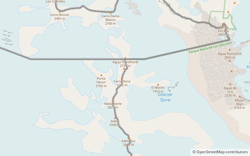
Southern Patagonian Ice Field, between Argentina and ChileLos Glaciares National Park
Contact
Social media
Add
Day trips