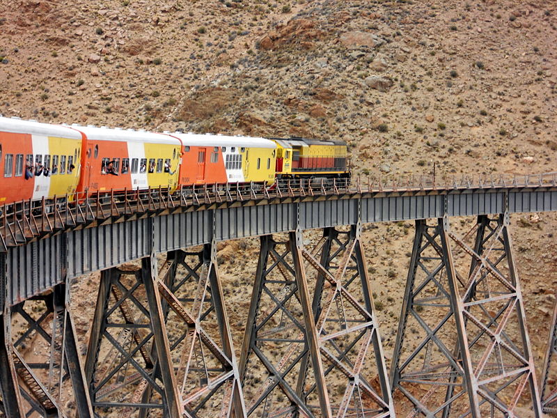
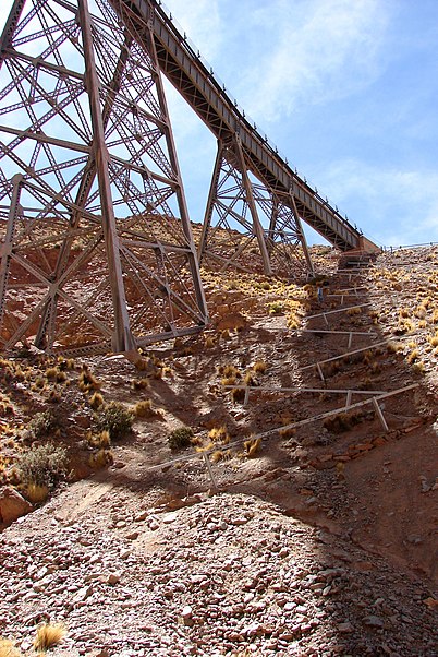
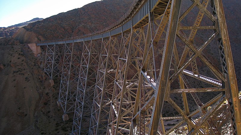
FFCC Belgrano

Gallery (5)
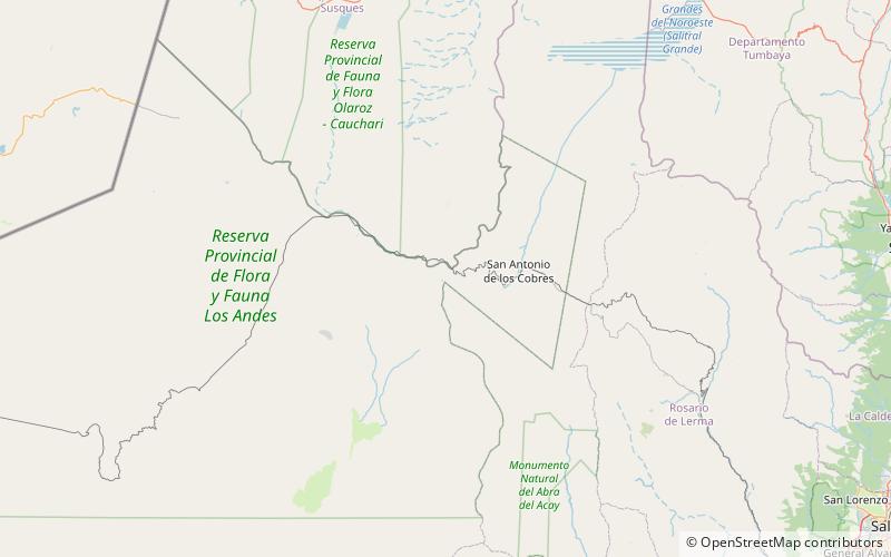
Map

Map

Gallery
Facts and practical information
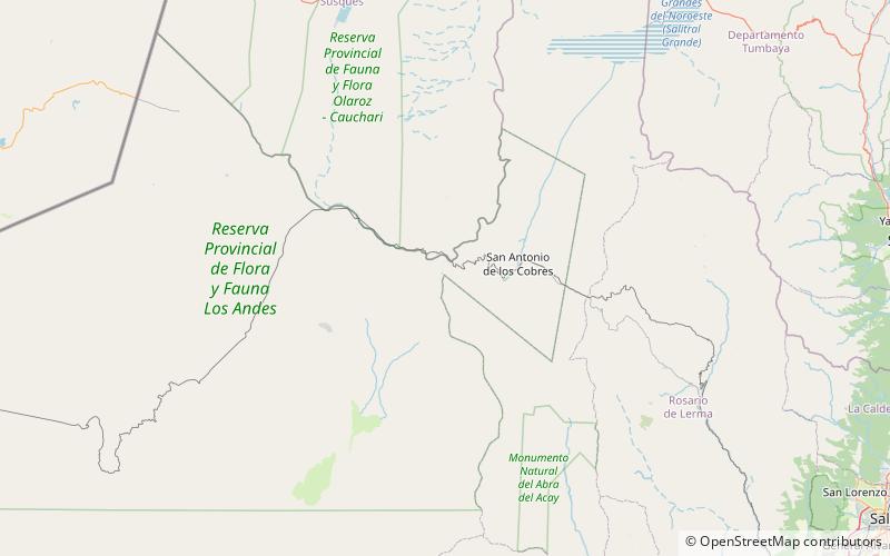
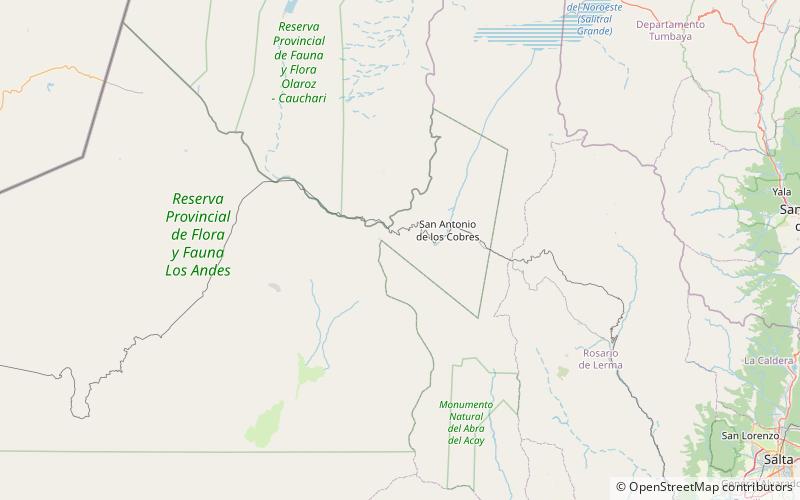
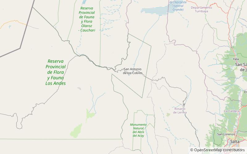
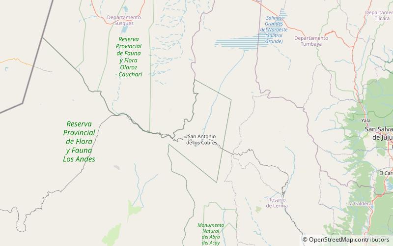
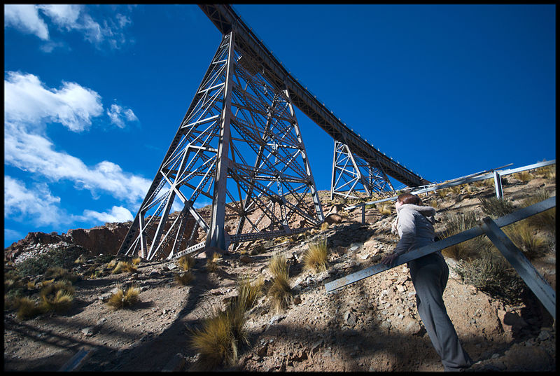
FFCC Belgrano is a place located in Argentina and belongs to the category of bridge.
It is situated at an altitude of 13619 feet, and its geographical coordinates are 24°12'10"S latitude and 66°24'52"W longitude.
Among other places and attractions worth visiting in the area are: Negro de Chorrillos (nature, 115 min walk), Nevados de Pastos Grandes (nature, 127 min walk), San Jerónimo volcano (nature, 148 min walk).
Coordinates: 24°12'10"S, 66°24'52"W
Location
Salta
ContactAdd
Social media
Add
Day trips