Playa Costanera Este, Santa Fe
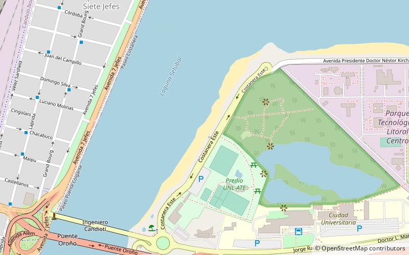
Map
Facts and practical information
Playa Costanera Este (address: Costanera Este) is a place located in Santa Fe (Santa Fe province) and belongs to the category of beach.
It is situated at an altitude of 33 feet, and its geographical coordinates are 31°38'12"S latitude and 60°40'35"W longitude.
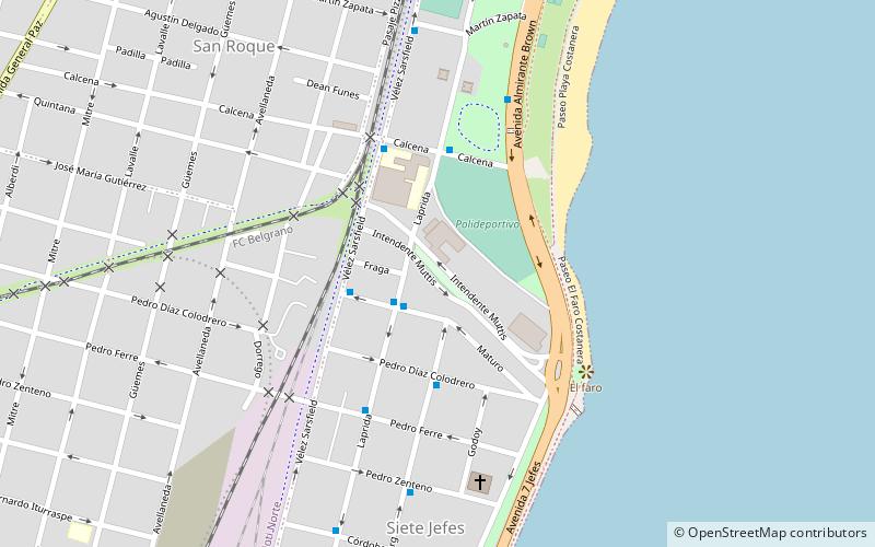
Planning a visit to this place, one can easily and conveniently get there by public transportation. Playa Costanera Este is a short distance from the following public transport stations: Grand Bourg y Domingo Silva (bus, 9 min walk), Santa Fe (train, 17 min walk).
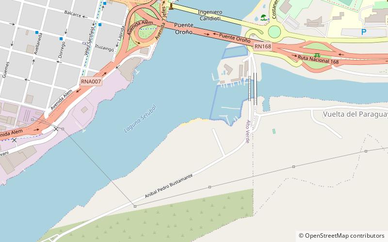
Among other places and attractions worth visiting in the area are: Puente Colgante (historical place, 11 min walk), Nativo Beach (beach, 16 min walk), Théodore Monod (memorial, 17 min walk).
Coordinates: 31°38'12"S, 60°40'35"W
Getting there by public transportation
Public transportation stops near this location
- Bus
- Train
 Bus
Bus
- Calculate routeGrand Bourg y Domingo Silva 9 min walk
- Calculate routeLaprida y Juan del Campillo 11 min walk
- Calculate routeSanta Fe 17 min walk
Day trips

Frequently Asked Questions (FAQ)
Which popular attractions are close to Playa Costanera Este?
Nearby attractions include Puente Colgante, Santa Fe (11 min walk), Nativo Beach, Santa Fe (16 min walk), Théodore Monod, Santa Fe (17 min walk).
How to get to Playa Costanera Este by public transport?
The nearest stations to Playa Costanera Este:
Bus
Train
Bus
- Grand Bourg y Domingo Silva • Lines: 16 (9 min walk)
- Laprida y Juan del Campillo • Lines: 16 (11 min walk)
Train
- Santa Fe (17 min walk)