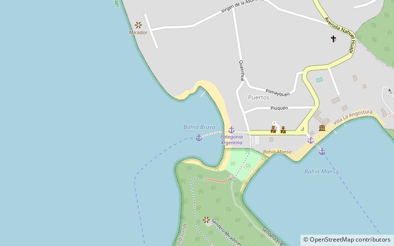
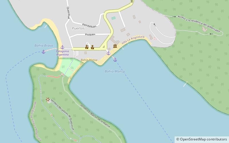
Bahía Mansa, Villa la Angostura
Map
Facts and practical information
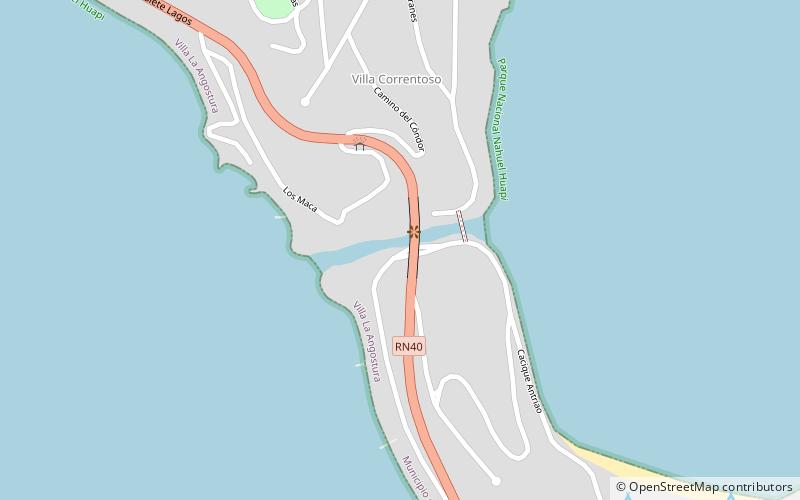
Bahía Mansa is a place located in Villa la Angostura (Neuquén province) and belongs to the category of beach.
It is situated at an altitude of 2526 feet, and its geographical coordinates are 40°47'2"S latitude and 71°39'24"W longitude.
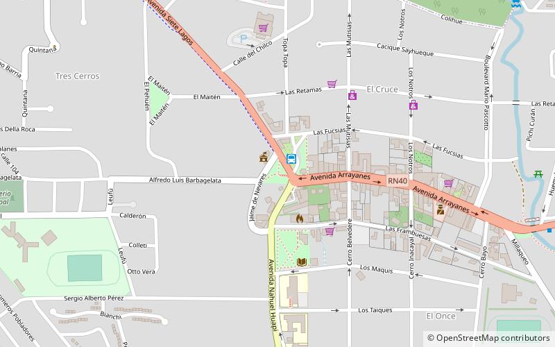
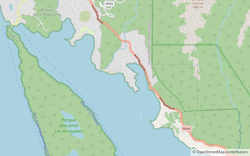
Among other places and attractions worth visiting in the area are: Bahía Brava, Nahuel Huapi National Park (beach, 8 min walk), C.E.F Nº 7 - Villa la Angostura (park, 41 min walk), El Mercado- Villa la Angostura (shopping centre, 44 min walk).
Coordinates: 40°47'2"S, 71°39'24"W
Address
Villa la Angostura
ContactAdd
Social media
Add
Day trips