Stella Maris, Concepción del Uruguay

Gallery (1)
Map
Map
Facts and practical information
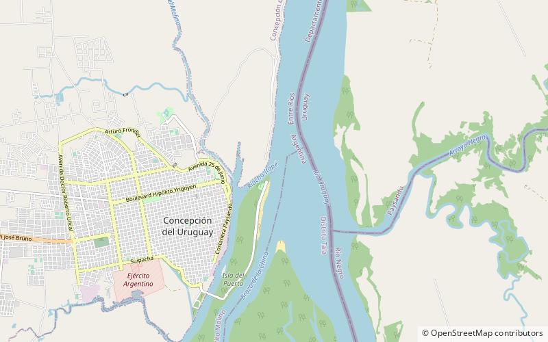
Stella Maris is a place located in Concepción del Uruguay (Entre Ríos province) and belongs to the category of lighthouse.
It is situated at an altitude of 0 feet, and its geographical coordinates are 32°28'25"S latitude and 58°12'37"W longitude.
Among other places and attractions worth visiting in the area are: National University of Entre Ríos (universities and schools, 37 min walk), Basílica Inmaculada Concepción (church, 40 min walk), Termas Concepción (watersports, 126 min walk).
Coordinates: 32°28'25"S, 58°12'37"W
Address
Concepción del Uruguay
ContactAdd
Social media
Add
Day trips