Municipal Ribera Norte Natural Park, Tigre
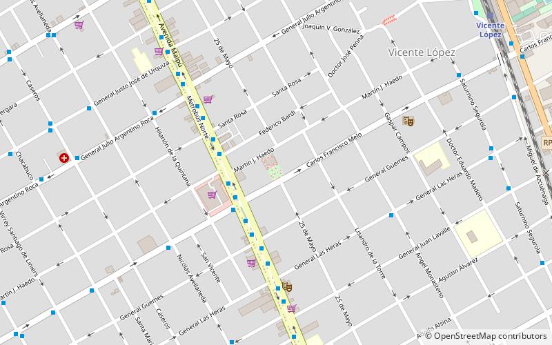
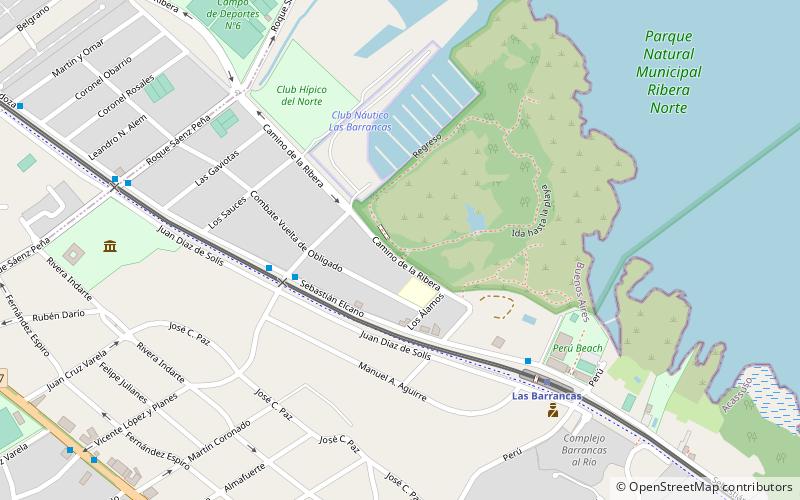
Map
Map

Facts and practical information
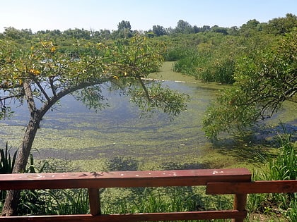
The Ribera Norte municipal natural park is a protected green space located on the coast of the Río de la Plata. It is part of the neighborhood of Acassuso, in the party of San Isidro in the northeast of the province of Buenos Aires, central-eastern Argentina, in the Gran Buenos Aires conurbation area. It is located at coordinates: 34°28′12.46″S 58°29′46.09″W.
Coordinates: 34°28'12"S, 58°29'46"W
Address
Tigre
ContactAdd
Social media
Add
Day trips
Municipal Ribera Norte Natural Park – popular in the area (distance from the attraction)
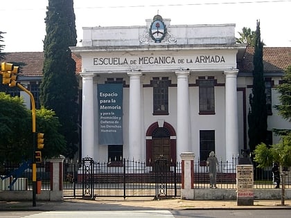
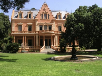
Nearby attractions include: Unicenter, San Isidro Cathedral, Espacio Memoria y Derechos Humanos, Josefina C. Bignone Eye Institute.
Frequently Asked Questions (FAQ)
Which popular attractions are close to Municipal Ribera Norte Natural Park?
Nearby attractions include Museo Pueyrredón, Martínez (10 min walk), San Isidro Cathedral, Martínez (20 min walk).
How to get to Municipal Ribera Norte Natural Park by public transport?
The nearest stations to Municipal Ribera Norte Natural Park:
Light rail
Bus
Train
Light rail
- Las Barrancas • Lines: Tc (7 min walk)
- San Isidro R • Lines: Tc (20 min walk)
Bus
- Libertador y Granada • Lines: 168 (12 min walk)
Train
- Acassuso (21 min walk)
- San Isidro C (26 min walk)
