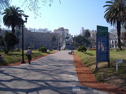
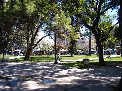
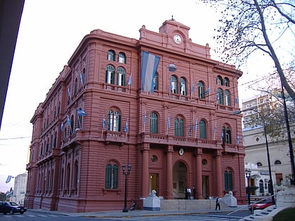
Pellegrini Avenue, Rosario
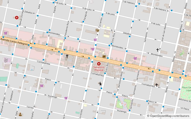
Map
Gallery
Facts and practical information
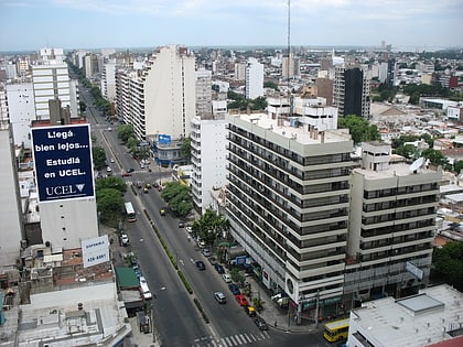
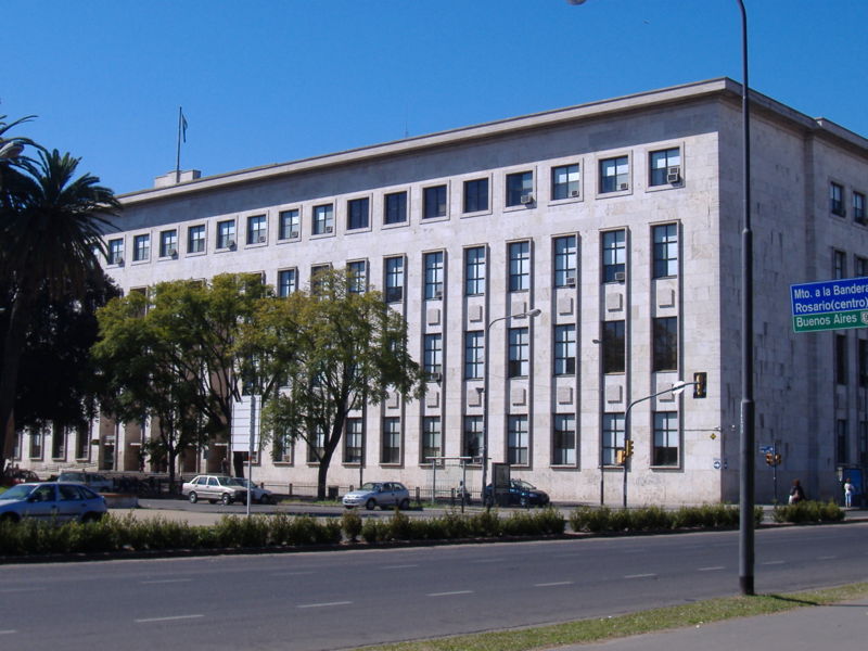
Pellegrini Avenue is a street in Rosario, Santa Fe Province, Argentina. It is a two-way avenue that runs east–west through the center-south of the city, from the coastal avenue by the Paraná River to the western limit of the urbanized area. Together with the river and with Oroño Boulevard, it also marks the unofficial limit of the downtown area. ()
Address
Avenida Carlos PellegriniCentro (Barrio del Abasto)Rosario
ContactAdd
Social media
Add
Day trips
Pellegrini Avenue – popular in the area (distance from the attraction)
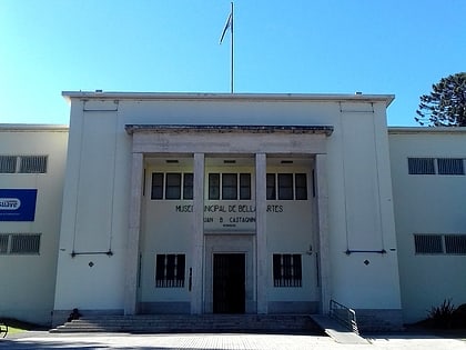
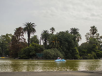
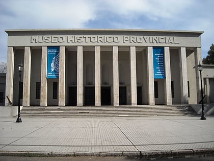
Nearby attractions include: Juan B. Castagnino Fine Arts Museum, Estadio Marcelo Bielsa, Parque de la Independencia, Dr. Julio Marc Provincial Historical Museum.
Frequently Asked Questions (FAQ)
Which popular attractions are close to Pellegrini Avenue?
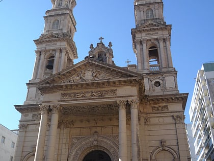
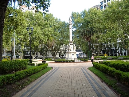
Nearby attractions include Parroquia Santa Rosa de Lima Rosario, Rosario (12 min walk), Plaza Sarmiento, Rosario (15 min walk), Palacio Cabanellas, Rosario (16 min walk), Iglesia San Cayetano, Rosario (17 min walk).
How to get to Pellegrini Avenue by public transport?
The nearest stations to Pellegrini Avenue:
Bus
Trolleybus
Train
Bus
- 1169 • Lines: 102 144N, 153N, 153R, 35/9V, Ru (1 min walk)
- 5934 • Lines: 129, 134, 135 (1 min walk)
Trolleybus
- 7050 • Lines: K, Q (11 min walk)
Train
- Estación Rosario Central Córdoba (26 min walk)
- Rosario Central Cordoba (26 min walk)
