Arzakan-Meghradzor Sanctuary
Map
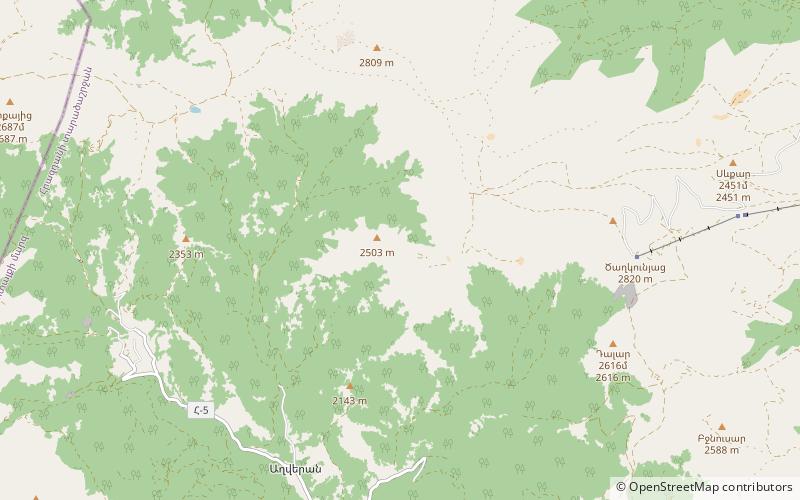
Map

Facts and practical information
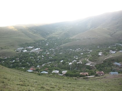
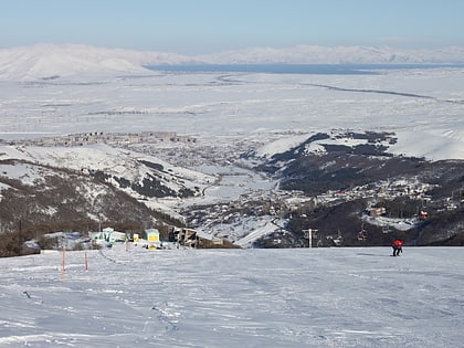
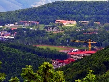
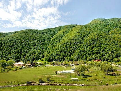
The Arzakan-Meghradzor Sanctuary is a protected area in the Armenian Kotayk Province. The sanctuary covers an area of 135.32 km² in the Hrazdan forest. It has a protection level of 4 according to the IUCN protection system. ()
Local name: Արզական-Մեղրաձորի արգելավայրEstablished: 1971 (55 years ago)Area: 52.25 mi²Coordinates: 40°31'40"N, 44°36'34"E
Location
Kotayk
ContactAdd
Social media
Add
Day trips
Arzakan-Meghradzor Sanctuary – popular in the area (distance from the attraction)
Nearby attractions include: Tejharuyk Monastery, Bjni Fortress, Neghuts Monastery, Tsaghkunyats Mountains.


