Javakheti Range
Map

Map

Facts and practical information
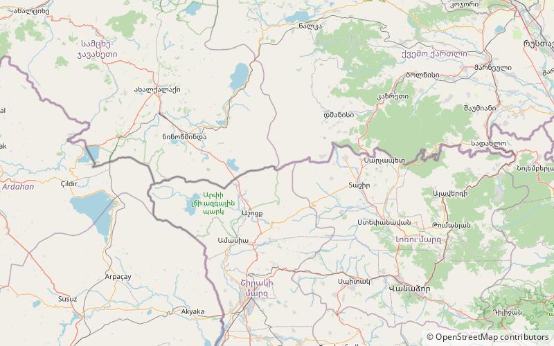
Javakheti Range or Javakhk Range – is a volcanic range in southern Georgia and northern Armenia. The range is about 50 km long and runs north to south from Trialeti to Bazum Range. The highest peak is Achkasar at an elevation 3196 m above sea level. Other notable peaks include Leyli, Yemlikli, Garanlig, Aghrigar and Shambiani. Javakheti/Javakhk Range is known with a lot of rainfall too. The name of Wet Mountains originated herein. Range are mainly covered with alpine meadows and grasslands. There are a number of small-sized lakes in and around the Javakheti Range. ()
Location
Shirak
ContactAdd
Social media
Add
Day trips
Javakheti Range – popular in the area (distance from the attraction)
Nearby attractions include: Mount Achkasar.

