Lake Arpi National Park
Map

Map

Facts and practical information
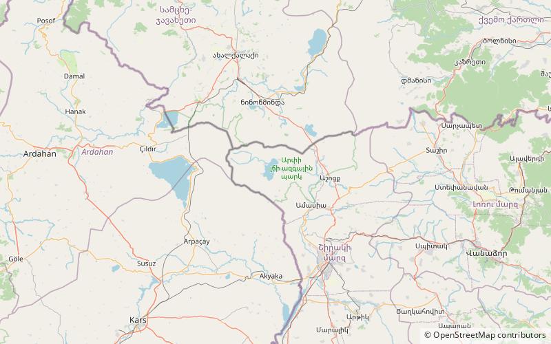
Lake Arpi National Park is one of four protected national parks of Armenia. Occupying an area of 250 km2, it is in the northwestern Shirak Province. Formed in 2009, it is located around Lake Arpi at the Shirak and Javkheti plateau, at a height of 2000 meters above sea level. The park is surrounded by the Yeghnakhagh mountains in the west and the Javakheti Range in the northwest. ()
Local name: Արփի լճի ազգային պարկ Established: 1970 (56 years ago)Elevation: 6716 ft a.s.l.Coordinates: 41°3'16"N, 43°38'35"E
Location
Shirak
ContactAdd
Social media
Add
Day trips
Lake Arpi National Park – popular in the area (distance from the attraction)
Nearby attractions include: Lake Arpi.

