Victory Bridge, Yerevan
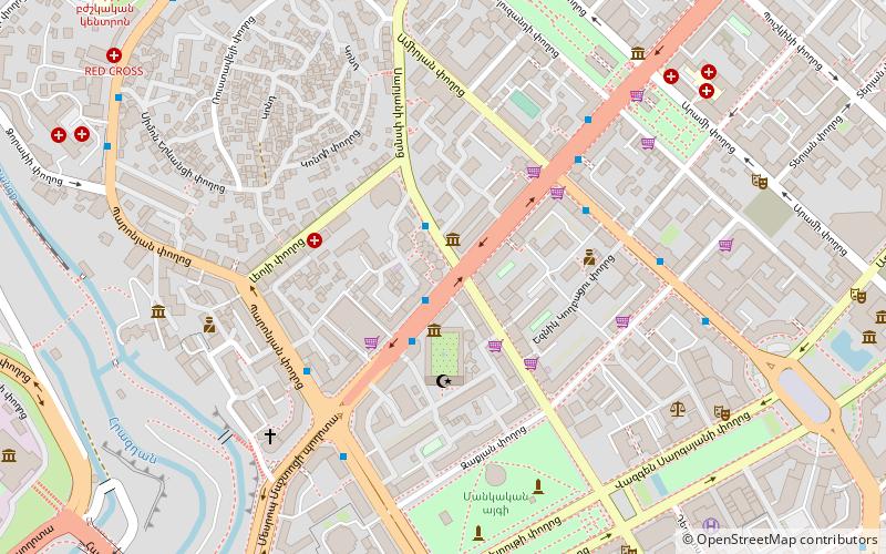
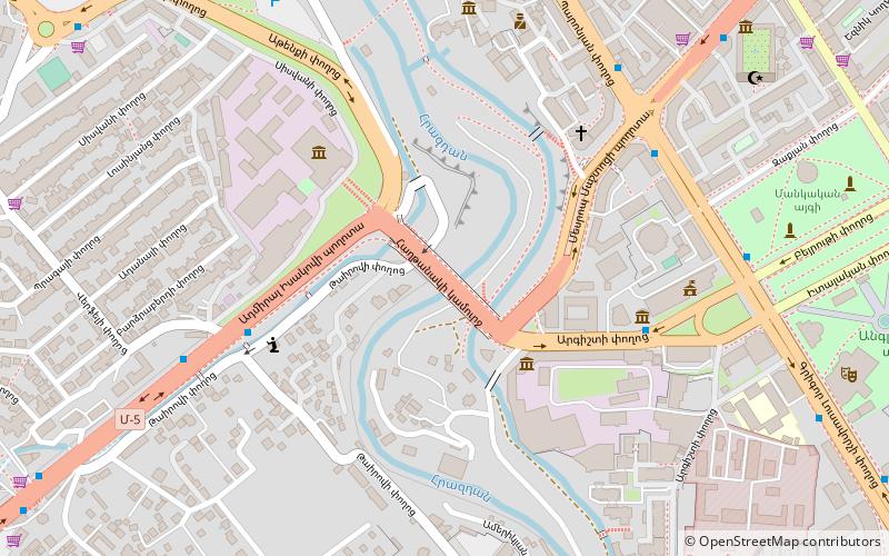
Map
Gallery
Facts and practical information
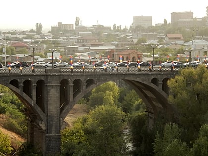
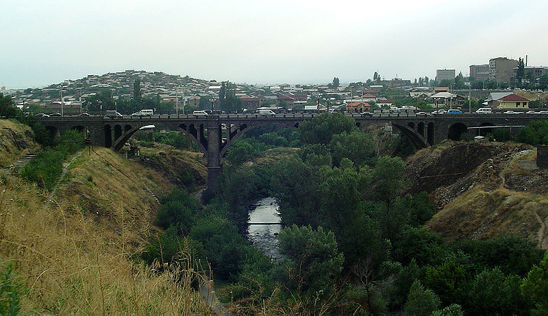
The Victory Bridge or Haghtanak Bridge is an arch bridge for traffic linking across the Hrazdan River in Yerevan, Armenia. It connects the Mashtots Avenue in the east with the Admiral Isakov Avenue in the west. It was opened on 25 November 1945 and named the Victory Bridge to commemorate the Soviet victory over Nazi Germany at the end of World War II. ()
Local name: Հաղթանակի կամուրջ Opened: 1945 (81 years ago)Length: 656 ftWidth: 82 ftHeight: 112 ftCoordinates: 40°10'30"N, 44°29'59"E
Address
Argishti St.Yerevan
ContactAdd
Social media
Add
Day trips
Victory Bridge – popular in the area (distance from the attraction)
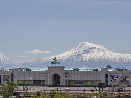
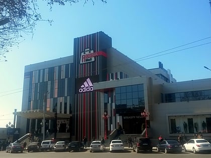
Nearby attractions include: Dalma Garden Mall, National Gallery of Armenia, Hrazdan Stadium, Rossia Mall.
Frequently Asked Questions (FAQ)
Which popular attractions are close to Victory Bridge?
Nearby attractions include Yerevan Ararat Brandy Factory, Yerevan (3 min walk), Saint Sarkis Cathedral, Yerevan (6 min walk), Yerevan History Museum, Yerevan (6 min walk), Yerevan City Hall, Yerevan (7 min walk).
How to get to Victory Bridge by public transport?
The nearest stations to Victory Bridge:
Bus
Metro
Bus
- G. Lusavorich st. • Lines: 26, 41, 74 (8 min walk)
- Mesrop Mashtots Av. • Lines: 13, 26, 33, 41, 5, 63, 77 (11 min walk)
Metro
- General Andranik (20 min walk)
- Republic Square (23 min walk)
