Arakelots Monastery

Gallery (1)
Map
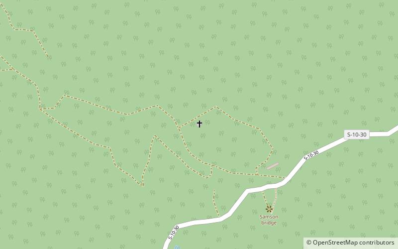
Map
Facts and practical information
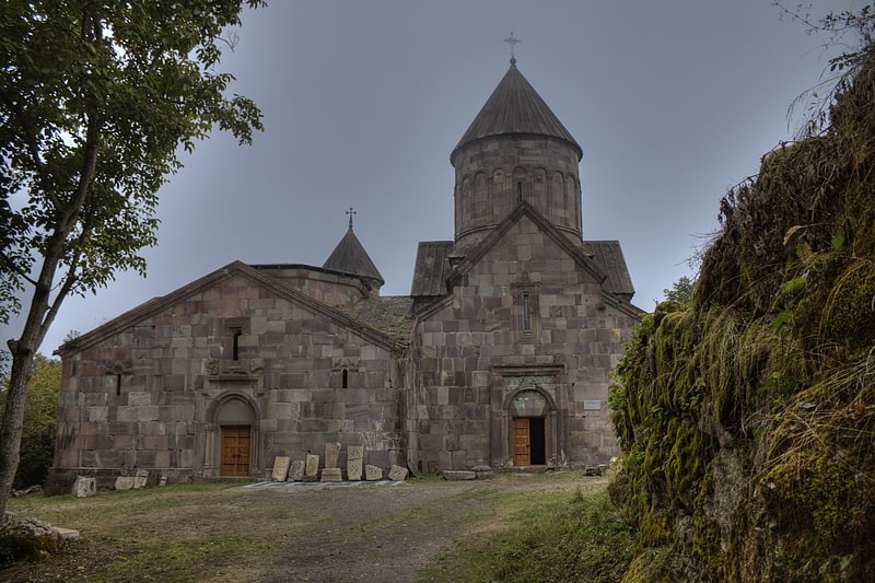
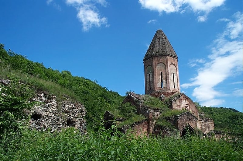
Arakelots Monastery is a 13th-century monastery about 3 kilometres southwest of the village of Kirants in the Tavush Province of Armenia. The monastic complex sits upon the crest of a hill surrounded by a dense forest on the left bank of the Kunen River. ()
Day trips