Horom Citadel, Gyumri

Map
Facts and practical information
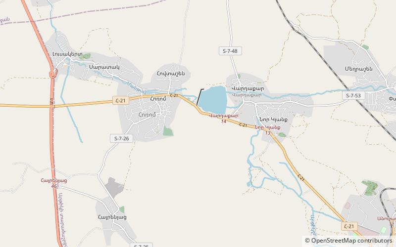
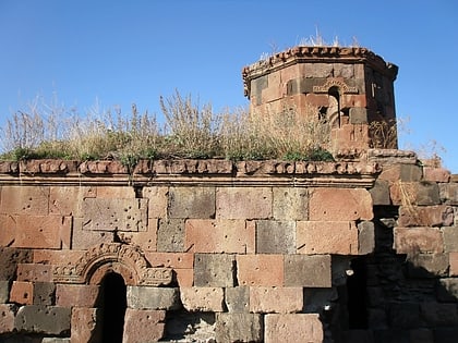
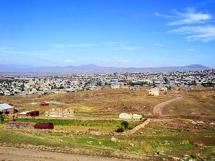
Horom Citadel is an ancient Bronze Age through Urartian fortification atop two large hills south of the main road and opposite of the dam and Kamut Reservoir. It is about 1 kilometre east of the village of Horrom in the Shirak Province of northwestern Armenia. Not far from this location in Ghak and Shvaghtapa are two Urartian cyclopean forts. ()
Coordinates: 40°39'18"N, 43°54'9"E
Address
Gyumri
ContactAdd
Social media
Add
Day trips
Horom Citadel – popular in the area (distance from the attraction)
Nearby attractions include: Harichavank Monastery, Lmbatavank, Pemzashen Church, Artik.


