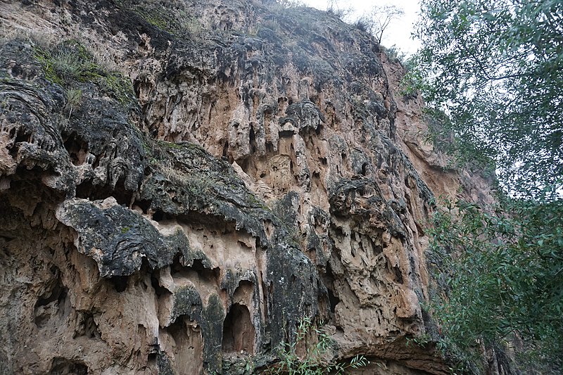
Satan's Bridge, Tatev

Gallery (2)
Map
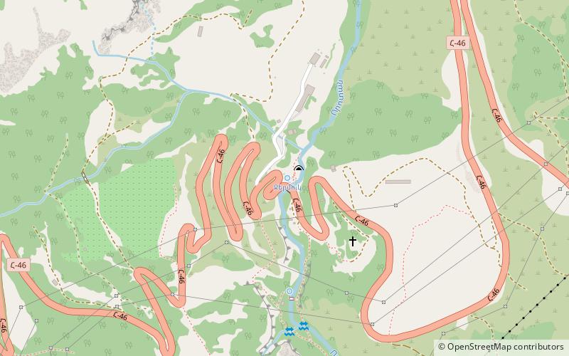
Map
Gallery
Facts and practical information
Satan's Bridge is a place located in Tatev (Syunik province) and belongs to the category of geologic formation, park.
It is situated at an altitude of 3346 feet, and its geographical coordinates are 39°23'45"N latitude and 46°15'27"E longitude.
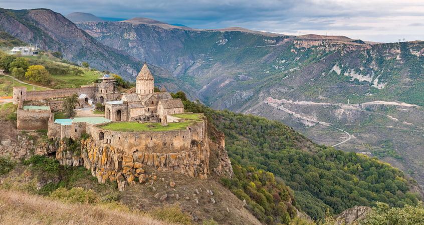
Among other places and attractions worth visiting in the area are: Tatevi Anapat (monastery, 16 min walk), Tatev Monastery (sacred and religious sites, 31 min walk), Wings of Tatev, Halidzor (aerial tramway, 65 min walk).
Elevation: 3346 ft a.s.l.Coordinates: 39°23'45"N, 46°15'27"E
Address
Tatev
ContactAdd
Social media
Add
Day trips