Red Bridge, Yerevan
Map

Gallery
Facts and practical information
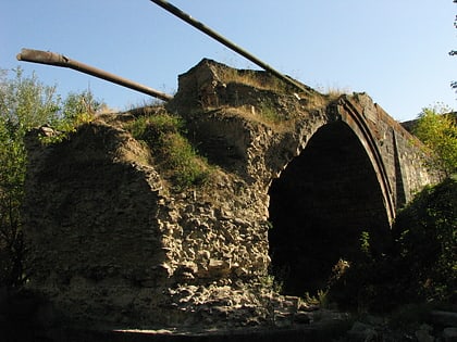
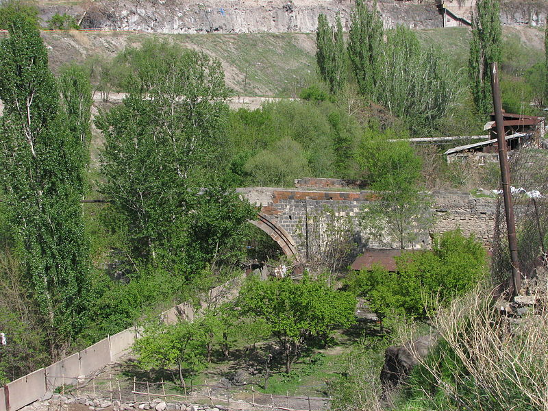
The Red Bridge is a ruined 17th-century bridge on the Hrazdan River, in Yerevan, Armenia. ()
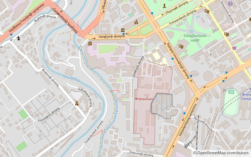
Local name: Կարմիր կամուրջ Completed: 1679 (347 years ago)Length: 262 ftHeight: 36 ftCoordinates: 40°9'33"N, 44°30'33"E
Address
Yerevan
ContactAdd
Social media
Add
Day trips
Red Bridge – popular in the area (distance from the attraction)
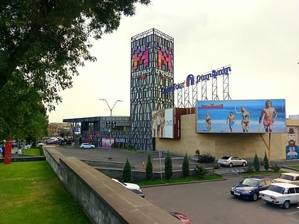
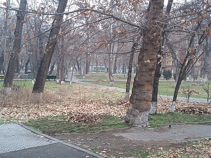
Nearby attractions include: Yerevan Mall, Armenian Railways Museum, Rossia Mall, Yerevan 2800th Anniversary Park.
Frequently Asked Questions (FAQ)
Which popular attractions are close to Red Bridge?
Nearby attractions include Armenian Railways Museum, Yerevan (7 min walk), Komitas Museum, Yerevan (11 min walk), Komitas Pantheon, Yerevan (11 min walk), Natural History Museum of Armenia, Yerevan (13 min walk).
How to get to Red Bridge by public transport?
The nearest stations to Red Bridge:
Bus
Train
Metro
Bus
- Tigran Mets Avenue • Lines: 14, 33, 41 (7 min walk)
- Buses to: Gyumri, Getazat, Ararat, Artashat, Khor Virap, Vedi, Goris, Norashen, Dvin (7 min walk)
Train
- Yerevan (7 min walk)
Metro
- David of Sasun (9 min walk)
- General Andranik (23 min walk)
