Trek Zone

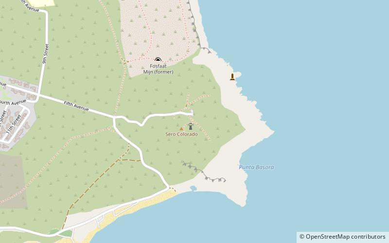
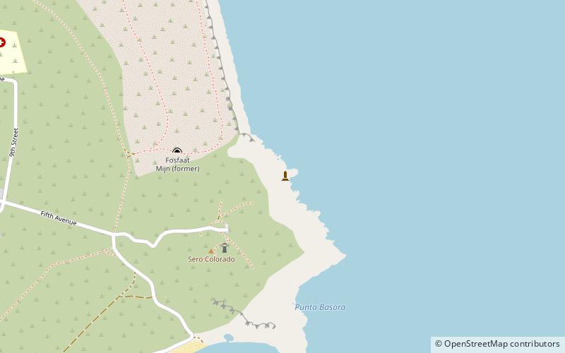
Rodgers Beach, San Nicolaas
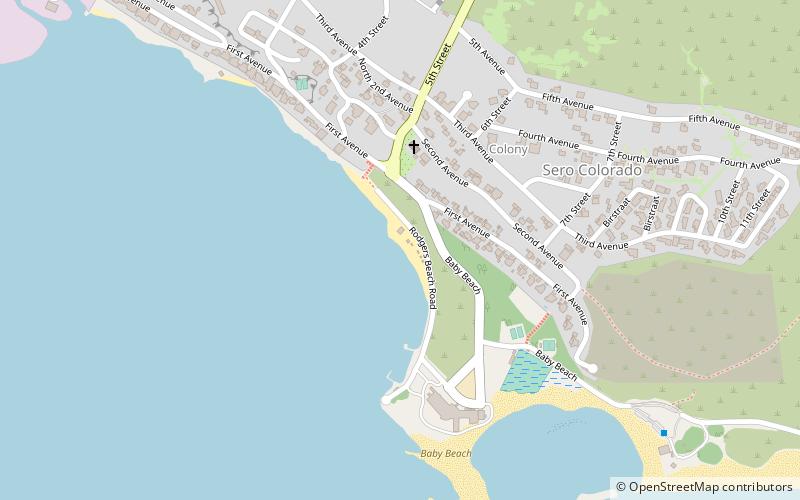
#1 among attractions in San Nicolaas

Beach, Outdoor activities, Park
Rodgers Beach location map
Map

Facts and practical information

Rodgers Beach is a place located in San Nicolaas and belongs to the category of beach, outdoor activities, park.

It is situated at an altitude of 3 feet, and its geographical coordinates are 12°25'3"N latitude and 69°53'5"W longitude.

Among other places and attractions worth visiting in the area are: Baby Beach (beach, 10 min walk), Rodgers Beach (beach, 11 min walk), Seroe Colorado Lighthouse (mountain, 27 min walk).

Elevation: 3 ft a.s.l.Coordinates: 12°25'3"N, 69°53'5"W
AddressAdd
ContactAdd
Social media
Add
Day trips

Rodgers Beach – popular in the area (distance from the attraction)

Nearby attractions include: Bachelor's Beach, Seroe Colorado Lighthouse, Baby Beach, Model Trains Museum.

  • bachelors beach san nicolaas location map
    1.3 miNE
  • seroe colorado lighthouse1 miE
  • baby beach san nicolaas~1890 ftSE
  • model trains museum location map
    1.2 miN
  • rodgers beach0.4 miSE
  • colorado point lighthouse san nicolaas location map
    1.1 miE
  • natural bridge location map
    1.2 miE

Where to next? Explore all the interesting places and tourist attractions in Aruba.