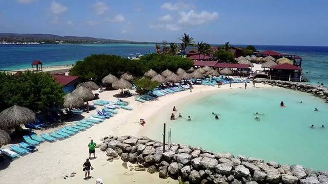
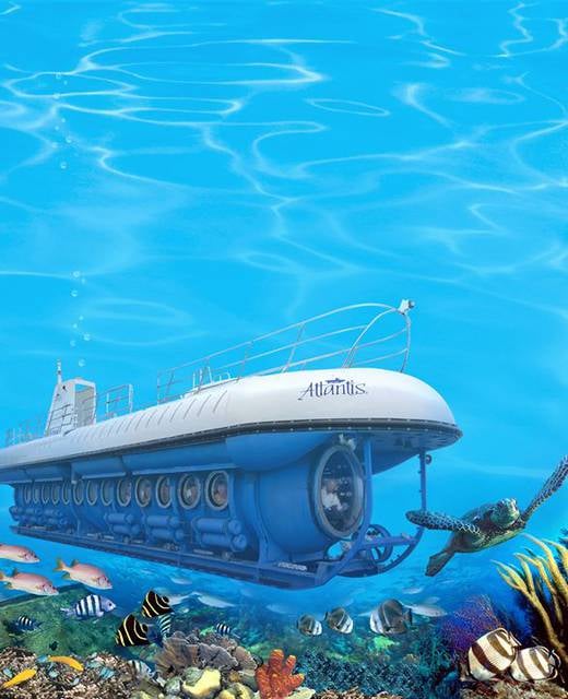
De Palm Island, Palm Island
Gallery (1)
Map
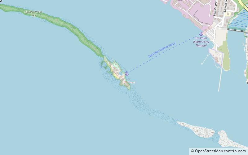
Map
Facts and practical information
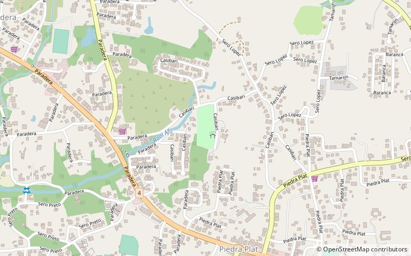
De Palm Island (address: Port de Palm) is a place located in Palm Island and belongs to the category of watersports, island, park.
It is situated at an altitude of 0 feet, and its geographical coordinates are 12°28'9"N latitude and 69°59'3"W longitude.
Among other places and attractions worth visiting in the area are: Pos Chiquito (town, 33 min walk), Aureus University School of Medicine, Santa Cruz (universities and schools, 77 min walk), Mount Jamanota, Santa Cruz (nature, 82 min walk).
Elevation: 0 ft a.s.l.Coordinates: 12°28'9"N, 69°59'3"W
Day trips

Frequently Asked Questions (FAQ)
When is De Palm Island open?
De Palm Island is open:
- Monday 9 am - 5 pm
- Tuesday 9 am - 5 pm
- Wednesday 9 am - 5 pm
- Thursday 9 am - 5 pm
- Friday 9 am - 5 pm
- Saturday 9 am - 5 pm
- Sunday 9 am - 5 pm