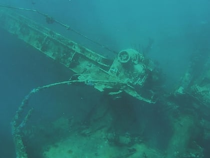
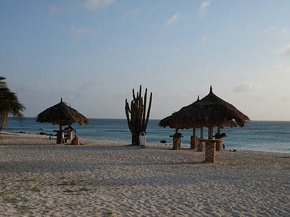
Wrak SS Antilla
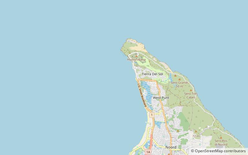
Map
Map

Facts and practical information
SS Antilla was a Hamburg America Line cargo ship that was launched in 1939 and scuttled in 1940. ()
Coordinates: 12°36'8"N, 70°3'28"W
LocationAdd
ContactAdd
Social media
Add
Day trips
Wrak SS Antilla – popular in the area (distance from the attraction)
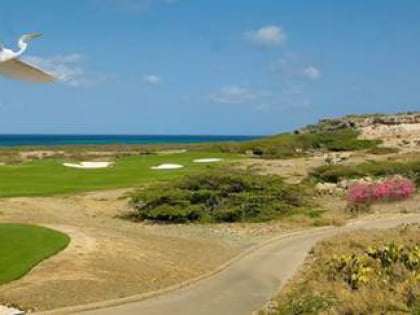
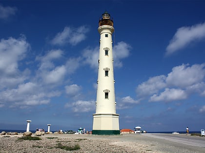
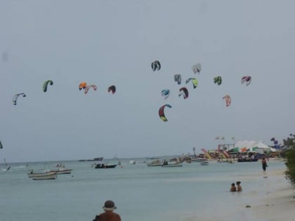
Nearby attractions include: Tierra del Sol Resort & Golf, California Lighthouse, Fishermans hut, Arashi Beach.
