Mutitjulu, Uluru-Kata Tjuta National Park

Gallery (1)
Map
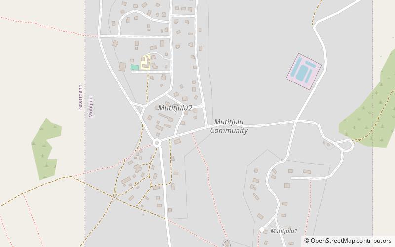
Map
Facts and practical information
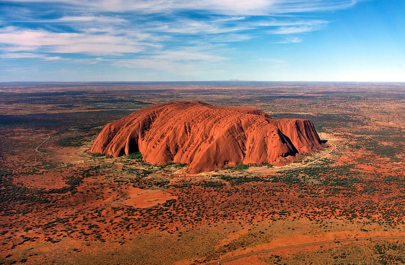
Mutitjulu is an Aboriginal Australian community in the Northern Territory of Australia located at the eastern end of Uluṟu. It is named after a knee-shaped water-filled rock hole at the base of Uluṟu, and is located in the Uluṟu-Kata Tjuṯa National Park. Its people are traditional owners and joint managers of the park with Parks Australia. At the 2011 census, Mutitjulu had a population of 296, of which 218 were Aboriginal. ()
Address
Uluru-Kata Tjuta National Park
ContactAdd
Social media
Add
Day trips
Mutitjulu – popular in the area (distance from the attraction)
Nearby attractions include: Uluru.