St Andrews Uniting Church, Bundaberg
Map

Map

Facts and practical information
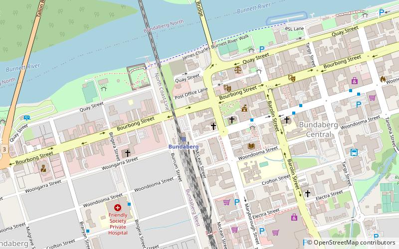
St Andrews Uniting Church is a heritage-listed church at the corner of Maryborough and Woongarra Streets, Bundaberg Central, Bundaberg, Bundaberg Region, Queensland, Australia. It was designed by Lange Leopold Powell and built from 1931 to c. 1940. It was added to the Queensland Heritage Register on 3 August 2004. ()
Built: 1931 (95 years ago)Coordinates: 24°52'3"S, 152°20'46"E
Day trips
St Andrews Uniting Church – popular in the area (distance from the attraction)
Nearby attractions include: Hinkler Hall of Aviation, Bundaberg Post Office, Bundaberg War Memorial, Fairymead House.
Frequently Asked Questions (FAQ)
Which popular attractions are close to St Andrews Uniting Church?
Nearby attractions include Buss Park, Bundaberg (3 min walk), Bundaberg Post Office, Bundaberg (4 min walk), Bourbong Street Weeping Figs, Bundaberg (4 min walk), Bundaberg War Memorial, Bundaberg (6 min walk).
How to get to St Andrews Uniting Church by public transport?
The nearest stations to St Andrews Uniting Church:
Train
Bus
Train
- Bundaberg (2 min walk)
- Bundaberg North Ralway Station (23 min walk)
Bus
- Woongarra Street Stop L • Lines: 1 (4 min walk)
- Bundaberg Coach Station (11 min walk)


