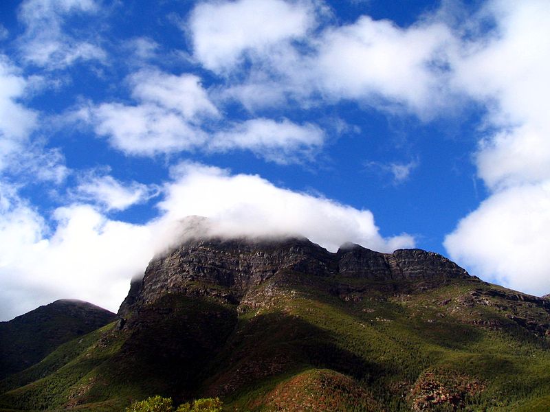
Bluff Knoll, Stirling Range National Park

Gallery (2)
Map
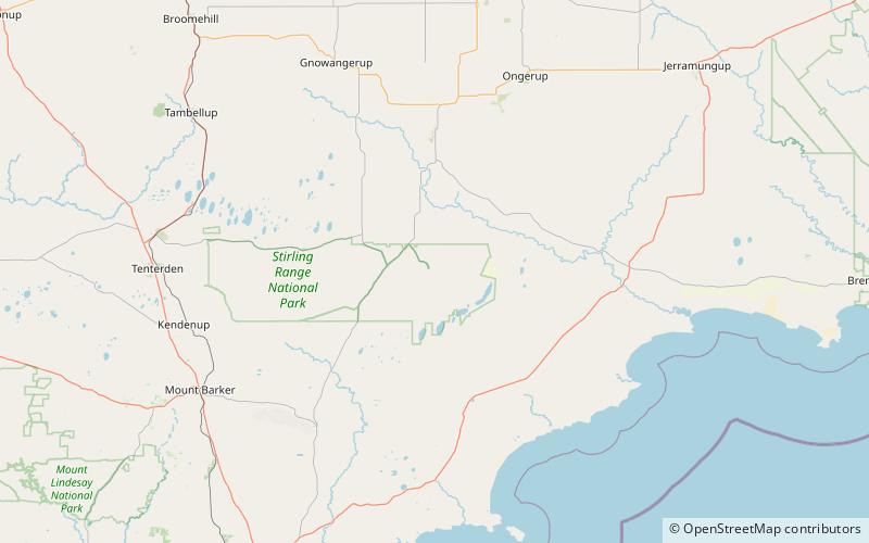
Map
Gallery
Facts and practical information
Bluff Knoll is the highest peak of the Stirling Range in the Great Southern region of Western Australia. It is 1,099 metres above sea level. Although Bluff Knoll is sometimes claimed to be the highest point in Western Australia, the highest peak is actually Mount Meharry in Karijini National Park in the Hamersley Range, which is 1,249 metres above sea level. ()