Pitt Street Mall, Sydney
Map
Gallery
Facts and practical information
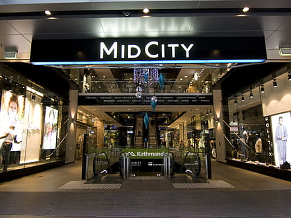
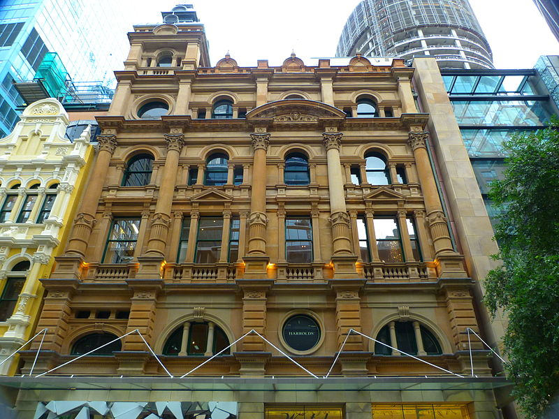
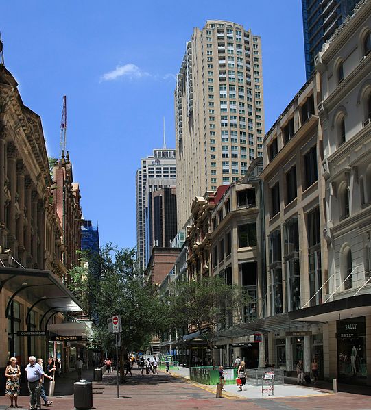
Pitt Street is a major street in the Sydney central business district in New South Wales, Australia. The street runs through the entire city centre from Circular Quay in the north to Waterloo, although today's street is in two disjointed sections after a substantial stretch of it was removed to make way for Sydney's Central railway station. Pitt Street is well known for the pedestrian only retail centre of Pitt Street Mall, a section of the street which runs from King Street to Market Street. ()
Length: 9186 ftCoordinates: 33°52'11"S, 151°12'29"E
Day trips
Pitt Street Mall – popular in the area (distance from the attraction)
Nearby attractions include: Westfield Sydney, The Strand Arcade, Queen Victoria Building, The Galeries.
Frequently Asked Questions (FAQ)
Which popular attractions are close to Pitt Street Mall?
Nearby attractions include Tank Stream, Sydney (1 min walk), Sydney Tower, Sydney (2 min walk), Glasshouse, Sydney (2 min walk), 25 Martin Place, Sydney (3 min walk).
How to get to Pitt Street Mall by public transport?
The nearest stations to Pitt Street Mall:
Bus
Light rail
Train
Ferry
Bus
- Stand E, QVB, York St • Lines: 290 (3 min walk)
- David Jones, Castlereagh St, Stand A • Lines: 431 (4 min walk)
Light rail
- Qvb • Lines: L2, L3 (4 min walk)
- Wynyard • Lines: L2, L3 (6 min walk)
Train
- Martin Place (6 min walk)
- St James (7 min walk)
Ferry
- Darling Harbour Wharf 1 (13 min walk)
- Pyrmont Bay Wharf • Lines: F4, Ferry (14 min walk)



 Sydney Trains
 Sydney Light Rail
 Sydney Ferries

