Southport Cable Hut, Gold Coast
Map
Gallery
Facts and practical information
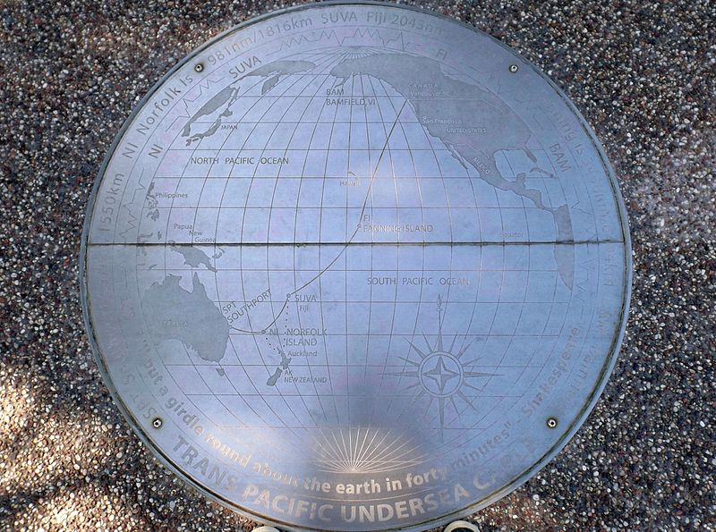
The Pacific Cable Station was built in 1902 in Southport, Gold Coast City, Queensland, Australia, continuing to operate for sixty years, finally closing in 1962. While most of the site has been dismantled, the Southport Cable Hut remains and has been listed on the Queensland Heritage Register and the Gold Coast Local Heritage Register. ()
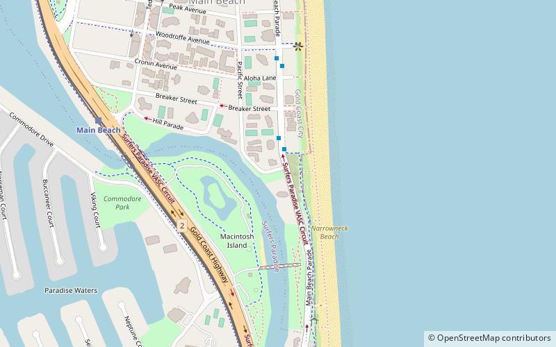
Elevation: 26 ft a.s.l.Coordinates: 27°59'1"S, 153°25'44"E
Address
Main BeachGold Coast
ContactAdd
Social media
Add
Day trips
Southport Cable Hut – popular in the area (distance from the attraction)
Nearby attractions include: Chevron Renaissance, Chevron Renaissance Shopping Centre, Sundale Bridge, Sundale Apartments.
Frequently Asked Questions (FAQ)
Which popular attractions are close to Southport Cable Hut?
Nearby attractions include Sundale Bridge, Gold Coast (18 min walk), King Tutt's Putt Putt, Gold Coast (19 min walk), Narrow Neck, Gold Coast (20 min walk), Sundale Apartments, Gold Coast (22 min walk).
How to get to Southport Cable Hut by public transport?
The nearest stations to Southport Cable Hut:
Tram
Ferry
Bus
Tram
- Main Beach Station • Lines: G:Link (10 min walk)
- Surfers Paradise North Station • Lines: G:Link (16 min walk)
Ferry
- Marina Mirage • Lines: Hopo (29 min walk)
- HOTA, Home of the Arts • Lines: Hopo (35 min walk)
Bus
- Southport bus station, stop A • Lines: 712, 713, 719 (37 min walk)


