Fort Banks, Sydney
Map

Gallery

Facts and practical information
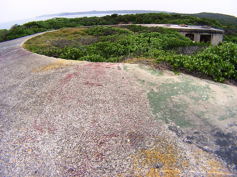
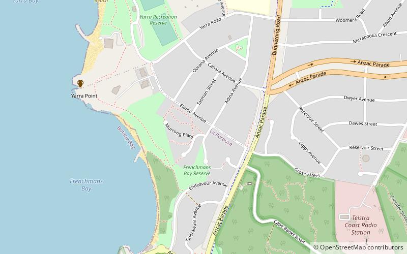
Fort Banks is an old World War II bunker and fortification complex that was used to protect the approaches to Botany Bay. The fortification is located north of Cape Banks in La Perouse, New South Wales, Australia. ()
Coordinates: 33°59'41"S, 151°15'0"E
Address
Eastern Suburbs (Little Bay)Sydney
ContactAdd
Social media
Add
Day trips
Fort Banks – popular in the area (distance from the attraction)
Nearby attractions include: Henry Head, New South Wales Golf Club, Bare Island, La Perouse Mission Church.
Frequently Asked Questions (FAQ)
How to get to Fort Banks by public transport?
The nearest stations to Fort Banks:
Bus
Bus
- La Perouse Terminus (27 min walk)

 Sydney Trains
 Sydney Light Rail
 Sydney Ferries


