Southport Pier, Gold Coast
Map
Gallery
Facts and practical information
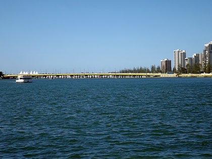
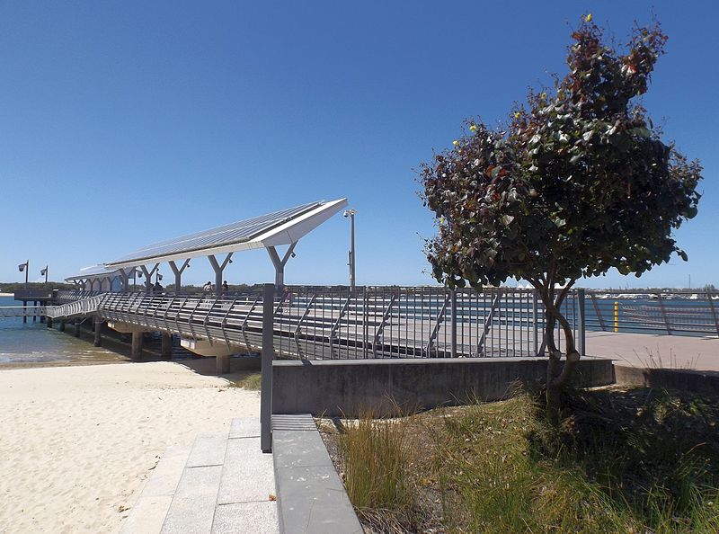
Southport Pier is a pier spanning the Gold Coast Broadwater in Southport, a suburb on the Gold Coast in South East Queensland, Australia. The current pier was constructed in 2009, replacing a previous structure demolished in 1969. ()
Opened: 2009 (17 years ago)Length: 200 ftCoordinates: 27°58'23"S, 153°25'16"E
Address
Gold Coast
ContactAdd
Social media
Add
Day trips
Southport Pier – popular in the area (distance from the attraction)
Nearby attractions include: Sea World, Nickelodeon Land, Shark Bay, Penguin Encounter.
Frequently Asked Questions (FAQ)
Which popular attractions are close to Southport Pier?
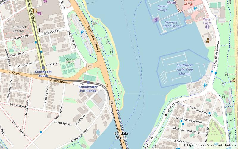
Nearby attractions include Sundale Apartments, Gold Coast (4 min walk), Sundale Bridge, Gold Coast (7 min walk), Narrow Neck, Gold Coast (12 min walk), Chinatown, Gold Coast (15 min walk).
How to get to Southport Pier by public transport?
The nearest stations to Southport Pier:
Tram
Ferry
Bus
Train
Tram
- Broadwater Parklands Station • Lines: G:Link (4 min walk)
- Southport Station • Lines: G:Link (15 min walk)
Ferry
- Marina Mirage • Lines: Hopo (11 min walk)
- Southport Broadwater Parklands • Lines: Hopo (16 min walk)
Bus
- Southport bus station, stop A • Lines: 712, 713, 719 (15 min walk)
- Scarborough St at Marshall Lane • Lines: 712, 713, 719 (19 min walk)
Train
- Monorail Main Station (24 min walk)


